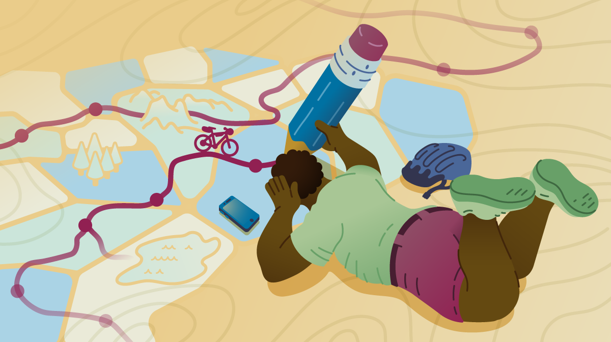
Bikepacking Route Resources
The Breakdown
Lazy way: grab an established route from Adventure Cycling. It’s already scouted for water, camping, and sweet spots. DIY way: use Ride with GPS to craft your own track, but skip Google Maps for backcountry riding—it’ll steer you down private roads and dead ends. Instead, use detailed maps from Benchmark or National Geographic, and pay special attention to water sources (they dry up). Either path works; just plan everything offline before you leave cell service.
Where to go is the first question when considering any cycling adventure. The answer will define nearly every aspect of your trip. But knowing how to come up with the answer involves a few considerations.
Some people desire to make their own way and find excitement in simply opening a map of an unexplored area. These are the people who are comfortable piecing together their own route from a variety of sources. Others might not have the time or capacity to build a bikepacking route of their own, relying instead on established routes made and mapped by organizations or individuals. For these people, knowing where to find potential routes to fit your needs is the important part. We’ll be covering both options.
Using Established Routes
Riders of all levels appreciate established routes for the convenience of maps and notes, flow of a well-designed riding experience, and sense of community.
Adventure Cycling Route Network
Since mapping our first route in 1976, the Adventure Cycling Route Network has blossomed to include the most scenic and historically significant bicycling routes in North America. Our routes are well researched by a team of cartographers and designed with historic, cultural, and natural highlights in mind. Our print and digital maps list crucial services, campgrounds, and sights along each route. In essence, we’ve done much of the route planning and navigation for you, and our list of bikepacking routes is only growing.
Explore parts or all of these epic Adventure Cycling bikepacking routes:
Here are other places to look for route inspiration, some more thoroughly mapped and researched than others:
- Bikepacking.com Routes
- BikepackingRoots.org
- Google “bikepacking routes near ___” and see if anyone has written a journal about their own trip
- MTBproject.com and IMBA Epics both focus on shorter mountain bike trails but are great for inspiration or linkup possibilities
- Gravelmap.com collects crowdsourced data about unpaved roads and routes
Creating Your Own Route
You can certainly create your own bikepacking route. Be sure to do all the research and planning in advance while you have internet access.
Route Creation Tools: To define and navigate your own route, you’ll want to create a GPX file. This is basically a long list of GPS coordinates stored in a format that GPS devices and navigation apps can read. The Ride with GPS route planner is a popular choice and packed with cycling-specific features and helpful map layers. Gaia GPS is another good option.
Where to start? Consider starting from an established route or trail and then branching off, exploring nearby, or linking up several shorter trails. Another strategy is to pick a national forest, state park, or other public land and build your own route to explore it.
Public Land: The United States, particularly from the Rockies westward, is home to more than 600 million acres of public land! For bikepackers, national forests and BLM (Bureau of Land Management) land are especially appealing for their vast primitive road networks and free dispersed camping (camp where you want, as long as you leave no trace). Use this interactive map to find public land you’d like to explore.
Maps: Google Maps may be convenient for driving directions, but you’ll get into trouble fast if you rely on it for bikepacking. Even apps like Komoot, loved by road tourers, are problematic in the backcountry. Many of those enticing “roads” turn out to be private, gated, unmaintained, or nonexistent. Marked hiking trails are not always open to bicycles.
First you need a reliable map, like those published by Benchmark, National Geographic, and others. A good map shows which roads are public versus private, paved versus gravel or dirt, and maintained backcountry roads versus rough 4×4 trails. You can buy paper maps online or in outdoor stores, or smartphone versions in the Avenza app. For free maps of national forests, look for Motor Vehicle Use Maps online or in Avenza (though these omit non-motorized trails).
Second, use online tools to complete the picture. While the Google Maps routing algorithm will often steer you wrong in the backcountry, the app does provide some helpful features for planning:
- Google Maps satellite layer: helpful for understanding road surface, landscape, reliability of potential water sources, and more.
- Google Maps street view: not available in remote areas but can help connect between towns and backcountry road systems. Look for gates, signs, traffic, shoulders, and other clues to inform your road choice, or just to see what an area looks like.
- Google Maps bicycle layer: shows bike lanes and bike-friendly roads in populated areas. Komoot is a similar option based on Open Street Maps.
Adding Structure: As you choose your roads and trails, don’t forget to research where you might refill water, camp or get a room, and resupply food. If unsure of the terrain and your daily mileage, look for multiple options to keep things flexible.
It’s fun to design routes around a special landmark or two: hot springs, alpine lakes, waterfalls, historic sites, small-town restaurants or breweries, remote mountain lodges, museums, even an astronomical observatory! Having some goals along the way will keep you motivated and provide welcome breaks from riding.
How much to plan? A good strategy often finds the middle ground: scope out the best camping, water, and resupply locations and estimate daily mileage, but also identify alternates and expect changes. Always set off with plenty of good offline maps.
Problems to Avoid
- Dry water sources: Just because they’re on the map doesn’t mean they’ll have water. Many creeks, lakes, and reservoirs run dry in late summer and fall, so research carefully and have a backup plan for any questionable sources.
- Private roads: Many rural roads shown on Google Maps are private. Use other map resources to avoid being stopped in your tracks by a gate or “No Trespassing” sign.
- Water crossings: Sometimes primitive roads cross rivers without bridges, varying from an easy trickle to an impossible swim. Do further research or ask locally.
- Busy highways without shoulders: It might seem like “just 10 miles” when you’re planning, but when you’re riding the white line as trucks barrel past that might be 9.9 miles too many.
