Southern Tier Section 3 GPX Data
In stock
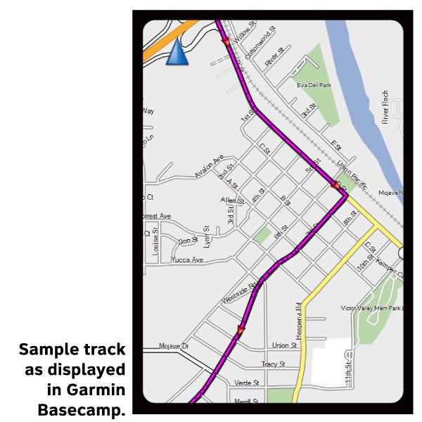
Please note, GPX Data is not refundable! Please examine the sample data on the device of your choice before purchasing GPX data packages. More information about GPX Data files can be found here.
After your GPX purchase, you can get GPX updates for free by re-downloading them from your My Adventure Cycling account.
El Paso and its environs are hot and desert-like. Road surfaces are often rough and traffic is heavy; avoid riding during rush hours. The land is flat and dry as you parallel the course of the Rio Grande, which snakes one to six miles away from the route to the south. I-10 parallels the route to the north and carries much of the high speed traffic, leaving primarily local traffic on SR 20, a two-lane road with good riding surfaces. You'll use frontage roads and do some riding on I-10 through flat, desert country to Kent. South of Kent, the country is desolate with a rollercoaster climb into the Davis Mountains. A steep climb up to the McDonald Observatory will reward you with a spectacular view of the surrounding area. Services are extremely limited between Marathon and Comstock. At Langry the visitor center is a welcome diversion and a source for drinking water. The route is gently rolling from Comstock to Del Rio. Click on enlargement for detail.
More information about this route is available here.
GPX Data Resources
- GPX Data Agreement
- Support Pages for Digital Route Data products
- Map Updates and Corrections (Addenda) - Always be sure to check for map updates and corrections before leaving on your trip.
- Temporary Road Closure Information
- Frequently Asked Questions
* These products are delivered in compressed zip files. Instructions on extracting the data are located here.
**NOTE: Occasionally, the GPX data you purchase will be newer than the paper map currently being sold. They may still be used together. See the Tracks and Service Points FAQs for more information.**


Reviews
There are no reviews yet.