Find Your Route
Every route here leads somewhere worth pedaling. Let's find your somewhere.
View the Route MapBrowse Routes
-
 Short Routes
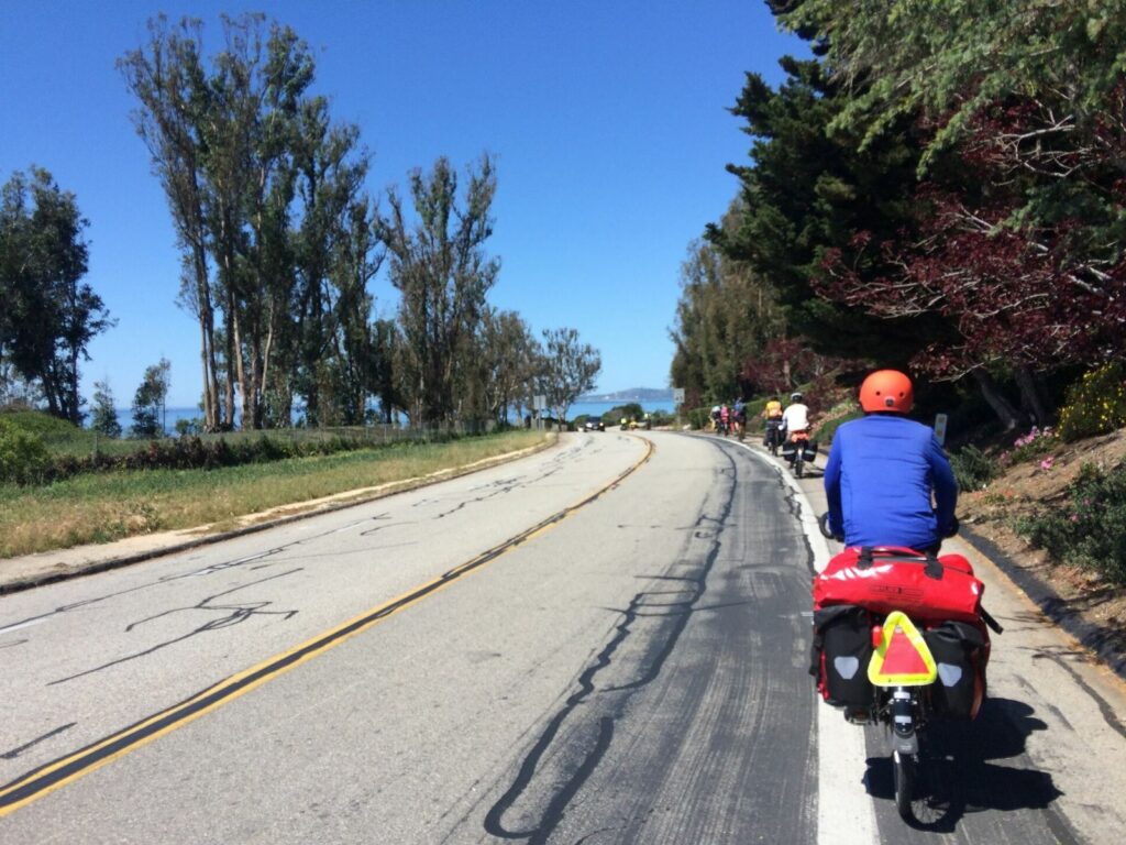
Follow the Santa Barbara coast from a welcoming beach town to a palm-lined campsite perched above the Pacific.
Carpinteria to Refugio
- Pacific
-
 Short Routes
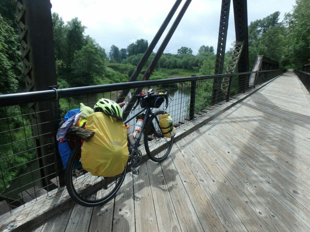
Ride through southwest Washington's farm country on quiet roads and a rail-trail, with river parks, swimming lakes, old-growth forest, and small-town stops along the way.
Kelso to Olympia Lollipop Loop
- Pacific
-
 Short Routes
Climb into Texas Hill Country on smooth ranch roads, linking Bandera with clear rivers, maple-lined canyons, cowboy towns, and two memorable state-park camps.
Heart of the Hill Country
- Southwest
-
 Short Routes
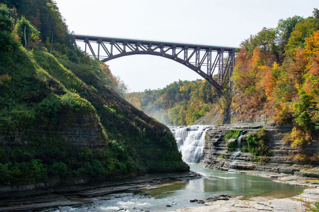
Ride from Rochester, NY, to a gorge cut by the Genesee River. Greenway miles lead to waterfalls, high cliffs, and forested overlooks.
Grand Canyon of the East, Letchworth State Park
- Northeast
-
 Short Routes
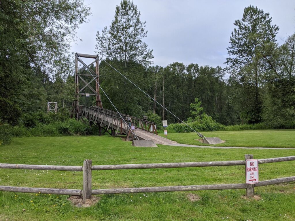
Climb from Redmond into forest singletrack and Snoqualmie Valley farm country, then return by rail-trails and the Lake Sammamish shoreline.
Redmond Farm Ride
- Pacific
-
 Short Routes
Ferry from downtown Seattle to island roads, beachside camping, and a historic fort overlooking the waterways of Puget Sound.
Seattle to Fort Flagler
- Pacific
-
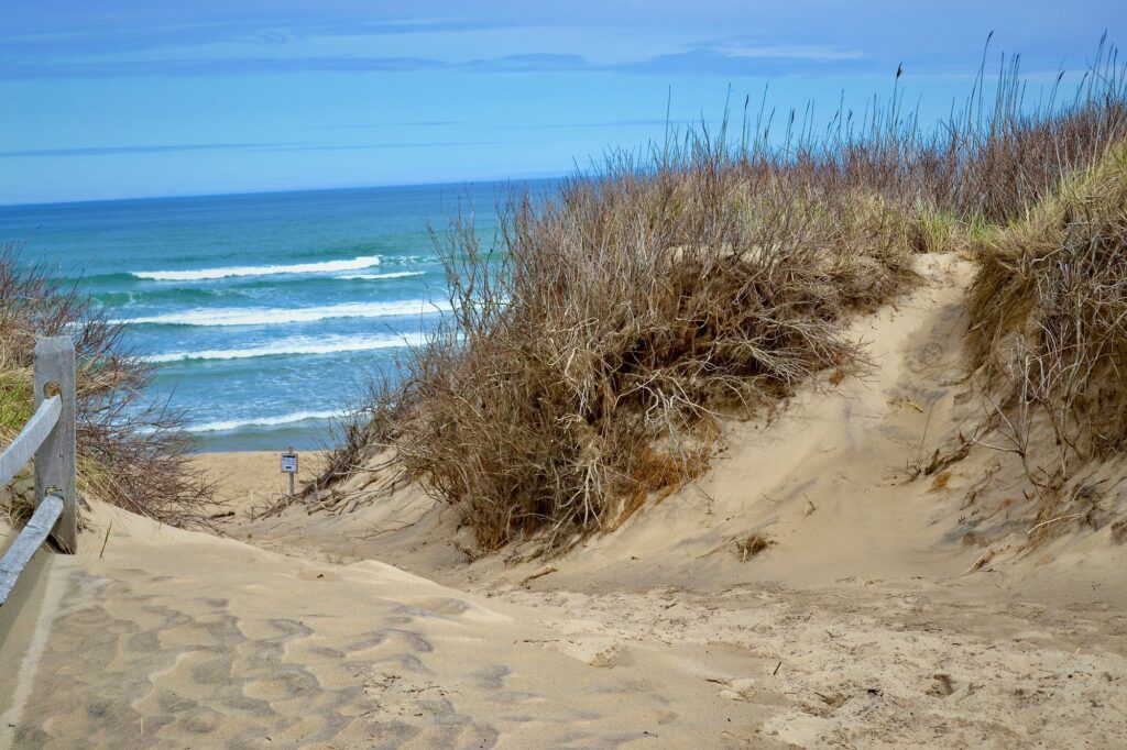 Short Routes
Ferry to Provincetown, then ride the length of Cape Cod through dunes, pine woods, historic villages, and long stretches of coastal bikeway.
Cape Cod Weekend
- Northeast
-
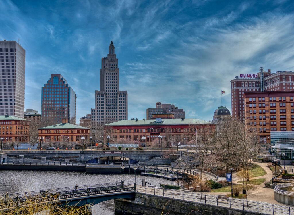 Short Routes
Roll out of Providence on a long greenway, cool off in forest swimming holes, and follow sandy tracks to the Rhode Island shore before looping back through old mill country.
Providence to Charlestown Loop
- Northeast
-
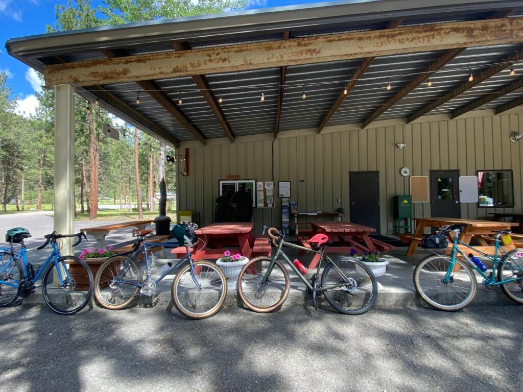 Short Routes
Roll out from the home of Adventure Cycling Association, glide up the Bitterroot Valley on a smooth paved trail, and pitch your tent beneath the mountains for an easy night out.
ACA Headquarters to Yellow Rock Campground
- Rocky Mountain
-
 Short Routes
Trace a historic canal corridor past locks, an aqueduct, and Fort Laurens before climbing to a century-old camp in the Tuscarawas River Valley.
Ohio & Erie Canal Towpath Trail to Camp Tuscazoar
- Midwest
-
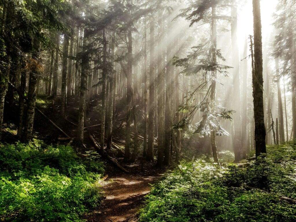 Short Routes
Step off Portland's MAX and pedal quiet farm roads to the Banks-Vernonia Trail for a welcoming night of camping.
Hillsboro MAX to L.L. Stub Stewart
- Pacific
-
 Short Routes
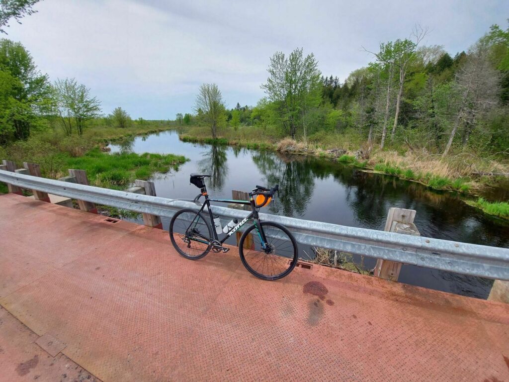
Ride two gravel rail-trails from Kingston to the Rideau Canal, passing beaver ponds, lakes, forest, and quiet rural communities.
K&P and Cataraqui Trails
- Northeast


Ride the Longest Off-pavement Route in the World
Est eiusmod the Great Divide Mountain Bike Route ad pariatur. Ipsum ex nostrud id incididunt magna occaecat quis. Eiusmod minim tempor culpa fugiat exercitation enim labore veniam ad. Exercitation qui commodo ad.
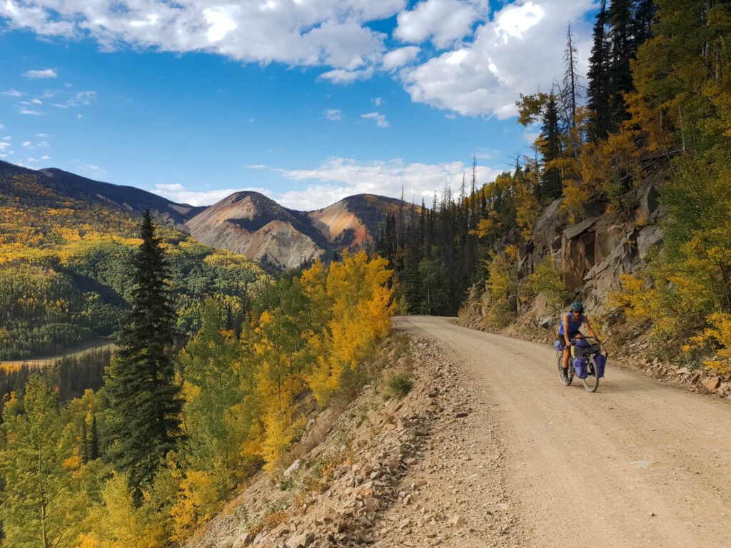
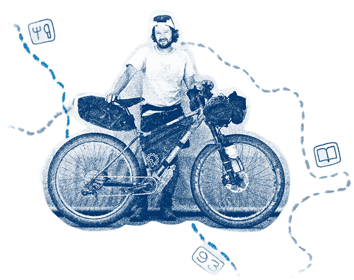
Four years of flying in Alaska was extremely fulfilling as well as challenging, but I was definitely burnt out, so that is what led me to the trails of the Great Divide. There are many miles still ahead of me as I ride south, but I’m already viewing this ride as my favorite with respect to all the other touring I have done.
John Myers, airline pilot
About our Networks
Adventure Cycling manages three separate route networks, each built for a different kind of ride. The Adventure Cycling Route Network, our flagship product tracing back to 1976, is designed for long-distance touring and bikepacking, meticulously researched and tested. The U.S. Bicycle Route System connects the country state by state on paved backroads. And Short Routes gives riders adventure on a smaller scale, submitted by cyclists in their own communities.
A Promise in Every Route
Adventure Cycling is a nonprofit backed by a simple mission: inspire and empower people to travel by bike. We spend most of our time mapping routes and making sure we get them right. Good routes, like the rides themselves, take real effort. Every route we publish has earned its place through months of work, all in the name of providing information you can trust and an experience you’ll never forget. For more than 50 years, members and donors have supported that mission, ensuring you have great routes to ride. Join us in that mission today.

Frequently Asked Questions
We’re a national nonprofit based in Missoula, Montana, working to inspire, empower, and connect people to travel by bike. Every route we create, manage, or host exists because our members and donors believe travel by bike should be something anyone can do.
Route mapping is one of the core programs of our nonprofit mission. Since 1976, we’ve researched, built, and maintained bike routes across the country. Today, we manage three distinct route networks, each built differently and for a different kind of ride, so between them you can find anything from a weekend trip near home to a summer spent crossing the country. We offer both paved touring routes and gravel bikepacking routes.
Adventure Cycling Route Network — our flagship, staff-built routes. Every one is researched and ground-truthed by our team and comes with detailed logistics, terrain, camping and lodging info, and points of interest. This is a premium network.
U.S. Bicycle Route System (USBRS) — the official, nationally numbered bike route system, developed state by state and approved by AASHTO, with Adventure Cycling serving as technical expert since 2003. It’s free to ride.
Short Routes Network — shorter routes (one to five nights) submitted by cyclists or organizations in their own communities and reviewed by our team before publishing. It’s free and the most community-built of the three.
If you’re new to bike travel or only have a few days, Short Routes is a great low-commitment place to start. If you want a route we’ve personally scouted end to end, with services, camping, and terrain notes built in, look at the Adventure Cycling Route Network. If you’re piecing together an officially designated, state-to-state corridor, the U.S. Bicycle Route System is the resource to use. Many trips can also mix and match, since the networks overlap in a lot of places.
No. Routes in the U.S. Bicycle Route System and the Short Routes Network are free. Adventure Cycling Route Network routes are a paid, premium product. The price supports the research, on-the-ground testing, and ongoing maintenance that goes into every one of those routes.
Every network’s routes are available digitally through Ride with GPS, but how you get them and use them depends on the network. If you purchase an Adventure Cycling Route Network route, you’ll get an email with a link to unlock it inside the free Ride with GPS app; U.S. Bicycle Routes and Short Routes can be accessed directly on Ride with GPS, no purchase needed. Once a route is in your account, you can navigate it with turn-by-turn voice directions right in the app, download it for 100% offline use, or export it as a GPX file to load onto a Garmin, Wahoo, or other GPS device. You don’t need a paid Ride with GPS subscription for basic navigation, though some extras (like syncing custom points of interest) are part of their premium plan.
If you’re using Ride With GPS, they offer extensive resources and a staffed customer support team that can respond to questions. Ride With GPS Help.
It depends on the network and what sort of experience might not yet be represented in that network, but every route goes through some form of vetting before it’s published. Adventure Cycling Route Network routes are researched and ground-truthed by staff and cyclists. U.S. Bicycle Routes are proposed by state departments of transportation and approved by AASHTO. Short Routes are submitted by cyclists or organizations but reviewed by our team for safety and accuracy, checking things like traffic speed, shoulder width, and whether services are realistically spaced along the way.
Yes. Bikecentennial is who we used to be. We became Adventure Cycling Association in 1993 to reflect an ongoing mission of inspiring, empowering, and connecting people to travel by bike.