Browse the Route Map
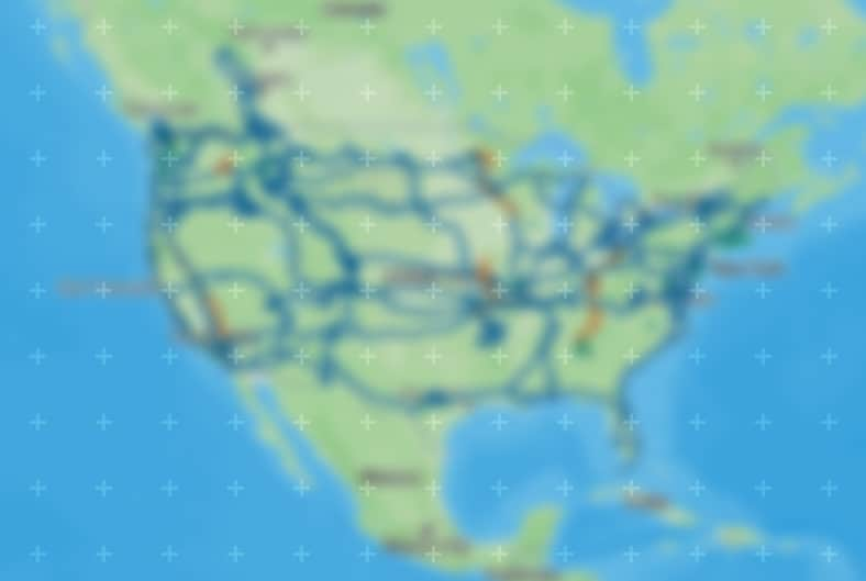
Explore ACA Routes
Open the interactive map in a full-screen view.


Take a Ride Through American History
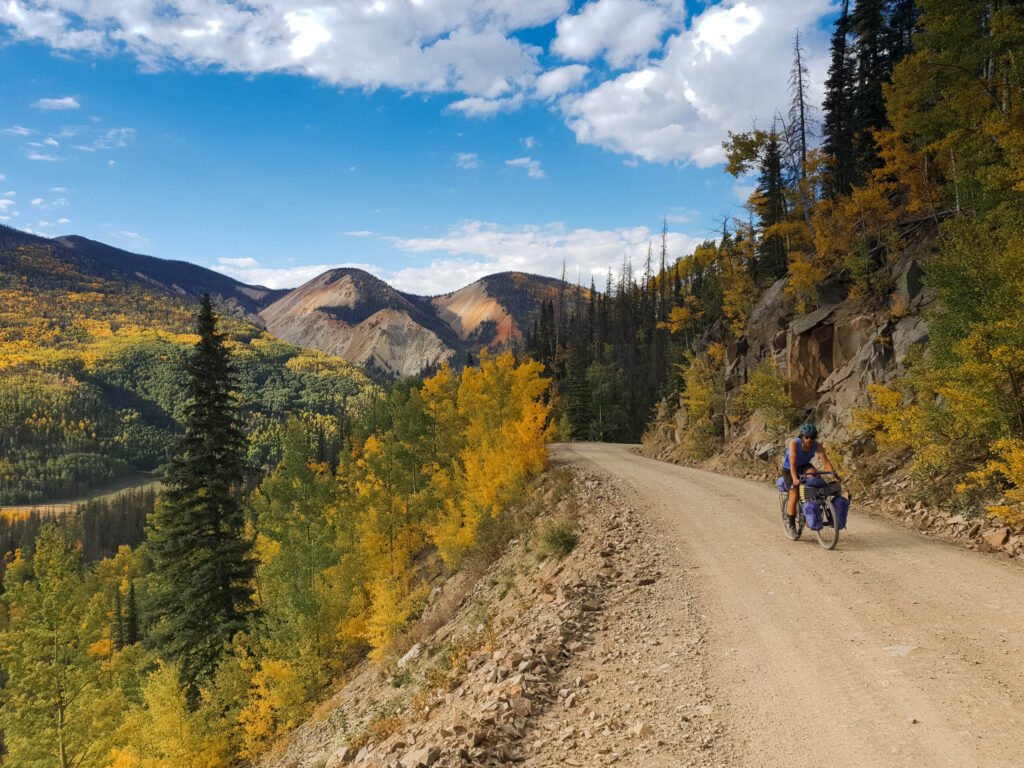
The Lewis & Clark Bicycle Trail offers cyclists the opportunity to follow the path of explorers Captains Meriwether Lewis and William Clark. Following the rivers they took as closely as possible, rough roads and sparse services make this route a challenge worthy of true explorers.


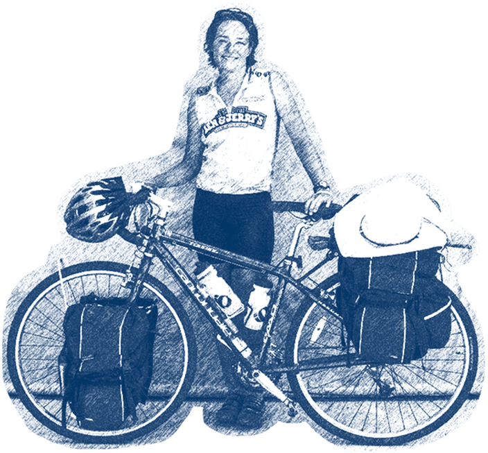
Decided to do this trip in January, bought my bike in March, didn't train, never loaded my panniers on to my bike before arriving at Williamsburg. Still have had a great trip!!
Carolyn Lewis
About our Networks
Adventure Cycling manages three separate route networks, each built for a different kind of ride. The Adventure Cycling Route Network, our flagship product tracing back to 1976, is designed for long-distance touring and bikepacking, meticulously researched and tested. The U.S. Bicycle Route System connects the country state by state on paved backroads. And Short Routes gives riders adventure on a smaller scale, submitted by cyclists in their own communities.

A Promise in Every Route
Adventure Cycling is a nonprofit backed by a simple mission: inspire and empower people to travel by bike. We spend most of our time mapping routes and making sure we get them right. Good routes, like the rides themselves, take real effort. Every route we publish has earned its place through months of work, all in the name of providing information you can trust and an experience you’ll never forget. For more than 50 years, members and donors have supported that mission, ensuring you have great routes to ride. Join us in that mission today.
Frequently Asked Questions
It’s a single map that brings together all three of our route networks — the Adventure Cycling Route Network, the U.S. Bicycle Route System, and Short Routes — in one place, so you can browse, compare, and build a trip without switching between separate pages or networks.
Yes. By default, the map shows all three networks together, but you can toggle any of them off, or focus on just one, depending on what you’re looking for.
Yes. The map is built so you can piece together sections from different networks into a single route. For example, following an Adventure Cycling Route Network route into a stretch of the U.S. Bicycle Route System, or connecting a Short Route onto a longer one. You’re not limited to riding one network start to finish.
Yes. You can toggle individual sections of a route on or off, so if you only want a portion of a longer route — say, one state’s worth of the TransAmerica Trail — you can get that section instead of the entire route.
A loop starts and ends in the same place, which is convenient if you’re leaving a car somewhere or don’t want to arrange a ride back. A point-to-point route starts in one location and finishes in another, so you’ll need to plan transportation at one end.
Yes. The map includes toggleable layers for wildfire perimeters, active fire incidents, flood outlook, and significant weather, so you can check for conditions that might affect your route at any time.
Yes. Amtrak routes are available as a toggleable layer, which is useful if you’re planning to combine cycling with train travel to reach a starting point, get home at the end, or skip a section of your trip.
Start with the filters. Narrow by terrain, surface, difficulty, and price to match the kind of trip you want and what you can realistically commit to, then use the loop or point-to- point filter to match your logistics. From there, toggle networks on or off if you have a preference — official state-recognized routes, staff-built and researched routes, or shorter community-submitted ones — and compare what’s left on the map.
Need to get from New Hampshire to New Mexico? Toggle on and off route section to piece them together directly on the map. Mixing routes and partial sections can help you build one continuous trip, rather than being limited to a single pre-built route.
You get each piece separately, right from the map. Click on any route or section you’ve included, and it’l take you straight to that piece — free routes open through Ride with GPS, and Adventure Cycling Route Network routes take you to our shop to purchase. The map is where you design the trip; Ride with GPS and our shop are where you pick up the individual pieces to actually ride it.