Route Maps
Showing 1–16 of 127 results
-
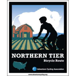
Northern Tier Map Set
$173.00 -
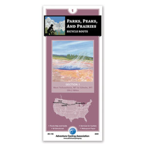
Parks, Peaks, and Prairies Section 1
$16.75 -
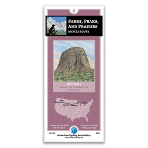
Parks, Peaks, and Prairies Section 2
$16.75 -
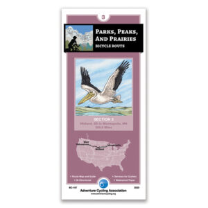
Parks, Peaks, and Prairies Section 3
$16.75 -
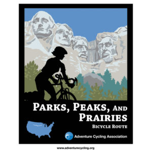
Parks, Peaks, and Prairies Map Set
$47.00 -
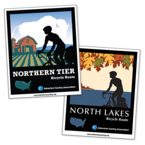
Northern Tier + North Lakes Map Set
$189.00 -
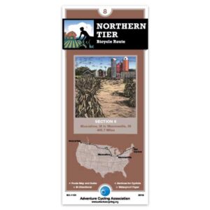
Northern Tier Section 8
$16.75 -
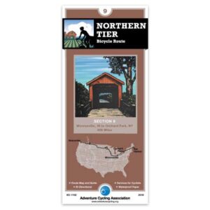
Northern Tier Section 9
$16.75 -
Northern Tier Section 10
$16.75 -
Northern Tier Section 11
$16.75 -
Northern Tier Section 1
$16.75 -
Northern Tier Section 2
$16.75 -
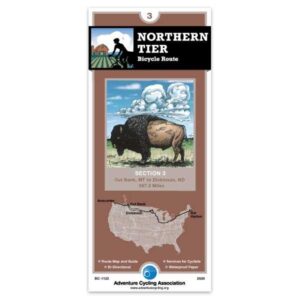
Northern Tier Section 3
$16.75 -
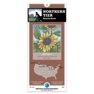
Northern Tier Section 4
$16.75 -
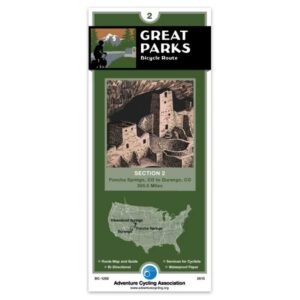
Great Parks South Section 2
$16.75 -
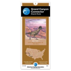
Grand Canyon Connector
$16.75
Showing 1–16 of 127 results