Creating Multi-Day Cycling Routes on Gunnison’s Gravel
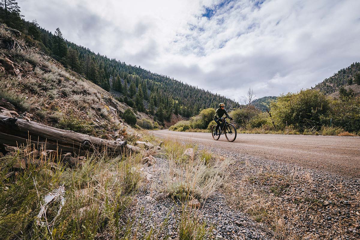
Crested Butte and Gunnison, Colorado, have long been known as hotspots for mountain bikers and singletrack. But this region is also home to another, lesser-known treasure: a huge web of smooth, stunning gravel roads.
Gunnison County has 36% of all the forest service roads in the state of Colorado. There are over a thousand miles of gravel riding in Crested Butte and Gunnison on National Forest Service roads alone. Other public lands, like the Bureau of Land Management (BLM), contain hundreds more.
These roads can be linked to create custom multi-day adventure cycling routes through the area’s pristine forests, mountains, small towns, and high-desert plateaus.
Planning A Route
Eric Larsen, a gravel cyclist and polar adventurer who lives in Gunnison, recommends starting with Google Maps. This is a great way to get the full scope of the county, zoom in to different areas, and get a feel for where different gravel roads diverge and connect.
He also advises people to check out apps like Ride with GPS that offer libraries of custom routes. When I wrote this article, there were over 600 custom Gunnison gravel routes already mapped in Ride with GPS. Many of these overlap to form longer, multi-day routes, or could easily be linked via other roads.
Three of The Adventure Cycling Association’s long distance routes also pass through beautiful Gunnison County: the Great Divide Mountain Bike Route is unpaved, and the Western Express and Great Parks South are paved. Each of these is a beautiful connector to the rest of Gunnison. These three routes are available as paper maps to access additional route information like water sources, elevation, grocery stores, and campsites.
Useful Resources:
- Colorado Gravel Roads
- Gravel Map
- Colorado Bike Maps
- The Dirty Roads
- Gunnison Crested Butte Tourism: Gravel Bike Routes
Where to Sleep
Gunnison County has a wide range of camping options. From full service campgrounds like Campfire Ranch — complete with gear rentals and an adventure concierge service — to free dispersed camping on Bureau of Land Management (BLM) or National Forest land; there’s something for everyone. And if you prefer to sleep indoors, Gunnison County still offers a full range of options, from the colorful Wanderlust Hostel to cozy cabins and luxury hotels.
Useful Resources:
- Camping and Cabins in Grand Mesa Uncompahgre and Gunnison National Forests
- Hipcamp (campground search engine)
- The Dyrt (campground search engine)
- Gunnison Crested Butte Lodging (hotels, cabins, lodges)
Food, Water, and Climate
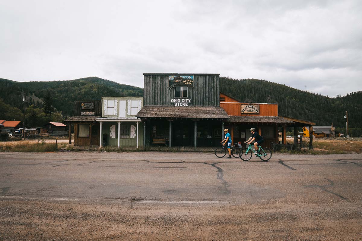
Gunnison County is home to many small towns and settlements where you can stock up on provisions at grocery stores and restaurants. Water is available in towns or you can filter it from Gunnison’s many freshwater brooks and streams
Gunnison is one of the coldest places to winter in the United States, with an average January low of -6.4° F. The most common months for cyclists to visit are June, July, August, and September.
Useful Resources:
Recommended Routes
In the summer of 2022, I cycled the following three routes as part of a Gunnison gravel media trip. Each route highlights Gunnison’s natural beauty and wild vistas. Any of them would be well worth splicing into a longer trip.
Spring Creek to Taylor Canyon: 46.8 miles
GPX data, Ride with GPS
Sargents to Middle Quartz: 40.3 miles
GPX data, Ride with GPS
Cochetopa Dome to Blue Mesa: 62.9 miles
GPX data, Ride with GPS
