Blazes Beware
On September 8, 2020, I woke before dawn but sunrise never came. Instead, a curtain of scarlet bled across the sky from east to west, like a translucent cloth backlit by a tired lantern. Bruised air masses transitioned from splotches of gray to monochrome, post-apocalyptic orange. Ash fell from the sky and a chill was in the air, despite the summer season. I live in a damp coastal area not traditionally prone to wildfires, but on this summer day the sun disappeared behind a thick veil of smoke. It reminded us that no place is impervious to the threat of wildfires or their effects.
Wildfires used to be an issue that mostly affected the western U.S., but as many of us know, that is no longer true. Just by glancing at a drought map of the U.S., it’s easy to see the extent of potential fire danger this year. No matter where you plan to pedal in late summer, it’s likely to be impacted.
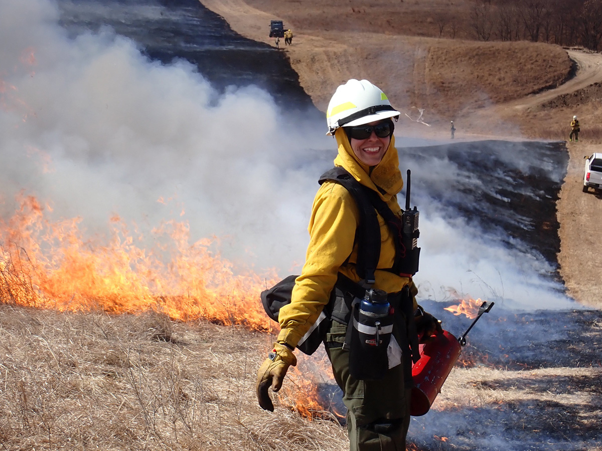
In the past, Indigenous Peoples in many parts of North America managed landscapes with widespread controlled burns, especially grasslands. These methods continue today but on a much reduced scale. These low intensity fires were allowed to burn in a controlled way, clearing out the underbrush and reducing fuel loads. However, for the past 70 years, this approach has been replaced by fire suppression (extinguishing a wildfire as quickly as possible). The result of this approach is dense forest growth and a buildup of woody debris in the forest understory or grasslands, which can become prime wildfire fuel. Hotter, drier summers (and winters) bring more drought, insects, and disease, increasing tree mortality and the fuel load on the ground. The more fuel we have, the more intense and severe the fires can become.
Fire intensity describes the characteristics of the fire, such as flame height and rate of spread. Intense fires can stretch up tree trunks to the canopy (known as “crowning”), allowing it to easily jump over a road or other fuel break, spreading with shocking speed. These high intensity fires, when fanned by high winds, can develop to severe fires. Fire severity refers to the ecosystem impacts of a fire, such as mortality of trees and bushes, loss in biodiversity, and impacts on the soil. A severe fire can reduce entire forests to large, sooty toothpicks that take decades to regenerate. In contrast, after a low intensity fire, a landscape can return to its former glory in a few years.
Much of the federal land in the U.S. is fabulous to cycle through: Bureau of Land Management parcels along the Southern Tier route, Forest Service lands along the Great Divide Route, and the forests in the southeastern U.S. The Smoky Mountains are a historically humid area straddling the deciduous forests of Tennessee and North Carolina but experienced an unprecedented fire in 2016 after a record-setting drought. The fire quickly took over 17,900 acres, damaged or destroyed 2,000 buildings, and killed 14 people. Then of course there’s our crown jewels, the National Parks, one of which (Yosemite) has 5,000 acres burning as I write this.
Fires will likely impede some of our bike touring this year, especially out west. Or some of us may have to turn around mid-ride, as I did last summer on this smoke-darkened day. Of course we all need to do our part to prevent wildfires by knowing and obeying local regulations on campfires, drowning campfires and charcoal, and reducing the risk of sparks.
Most of us check the weather before we head out on a ride, so adding a check for signs of fire danger can easily become part of our bike touring routine. Warm temperatures, low humidity, and strong winds are assessed by the National Weather Service (NWS) to determine fire risk. A Red Flag Warning is issued by the NWS when dangerous conditions are ongoing or imminent in the next 24 hours; a Fire Weather Watch is when fire is possible in the next 72 hours but not imminent.
Each NWS office creates local criteria for fire risk, so make sure to check out what’s going on in your area in order to keep yourself and others safe. Even if fires are hundreds of miles away, smoke can affect our ability to pedal, or to do anything outside. I am hesitant to set out when the air quality index is bad, especially on remote hilly routes. You can find beta on your local air quality here.
If a fire does start near you, or in the path of your intended travel, there are several places to get updates online.
- The National Interagency Fire Center lists fires by state and updates the status and size of the fires daily.
- The Incident Information System, also called inciweb, tracks fires by region, and I find it rather user-friendly, even for the not-tech-savvy cyclists like myself.
- Our Adventure Cycling Route Network Interactive Map. Scroll to the bottom to toggle on and off two layers of fire information: INCI Fire Data and National Intragency Fire Center (Current Wildfire Perimeters).
- Specific to California, Cal Fire also has an incident map that is updated often.
- If you’re traveling on an Adventure Cycling route, check their forum on Temporary Road Closures for short-term route changes. This is not an extensive list; there are also state or regional-based resources out there.
I am optimistic that we can all continue riding through this summer of heat waves if we take a few precautions. Cycle touring can be a sustainable way to travel, and here’s to hoping that if more folks join in, maybe — just maybe — we can curb climate change enough to reduce the risk of massive wildfires. I at least have to hope. As for here, I’ll do my best to stay informed, stay safe, eat ice cream, hug my loved ones, and keep pedaling when and where I can.
