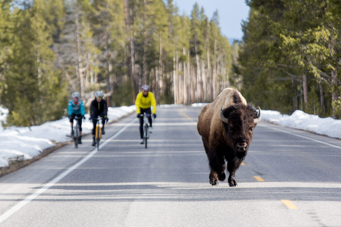
Parks, Peaks, and Prairies Bicycle Route Connects Yellowstone with Minneapolis

MISSOULA, Mont. (June 22, 2020) – Adventure Cycling Association’s newest route was always going to be memorable – the 1,287-mile Parks, Peaks, and Prairies Bicycle Route (PPP) brings the organization’s total cycling route network to 50,000 miles — but 2020 has tacked on another, unexpected layer.
Guiding cyclists from Yellowstone National Park, through Wyoming’s plains and Devils Tower National Monument, past the Black Hills, Mount Rushmore and the Badlands of South Dakota, on to the continent’s biggest rivers and some of the 10,000 lakes of Minnesota before finishing in bike-friendly Minneapolis, the PPP traverses iconic terrain, even in uncertain times.
Our newest route takes in some of our country’s most beautiful natural wonders and national landmarks between the Rocky Mountains and the Midwest, and it brings our route network to a total of 50,000 miles,” said Director of Routes & Mapping Carla Majernik, who rode across the country in 1976 with Bikecentennial and has helmed Adventure Cycling’s Routes & Mapping department for decades. “However, we never imagined the challenges of traveling this summer as we designed it. So while 2020 might not be the ideal time to ride the full Parks, Peaks, and Prairies route, it’s a great time to tackle smaller sections if you live nearby or to plan for riding in 2021 and beyond.
The PPP also offers a connecting option between the TransAmerica Trail and the Northern Tier bicycle routes, as well as crossing over the Lewis & Clark Trail near the new route’s midpoint.
Like all Adventure Cycling routes, the new Parks, Peaks, and Prairies Route was extensively researched by volunteers and the organization’s cartography staff before being distilled into cyclist-specific maps in print and digital form. PPP is available in print and GPX data format at adventurecycling.org/store, and via the Bicycle Route Navigator app on Apple and Android stores.
50,000 Miles
Beginning with the TransAmerica Trail in 1976, Adventure Cycling Association has steadily grown its route network to crisscross the country in every direction, plus a number of loop routes in some of the continent’s most compelling landscapes.
The Adventure Cycling Route Network includes the world’s premier bikepacking route, the Great Divide Mountain Bike Route, four east-west corridors (Southern Tier, Northern Tier, TransAm, and Bicycle Route 66/Chicago to New York City), four more north-south routes (Atlantic and Pacific Coast routes, Sierra Cascades, and Underground Railroad) and loops in Arkansas, Idaho, Texas, New York, and others.
Visit Adventure Cycling’s Interactive Route Map for an overview of the network, and see adventurecycling.org/routes-and-maps for more about the organization’s history guiding cyclists on two-wheeled adventure.
###
CONTACT
Alex Strickland, astrickland@adventurecycling.org
Direct: 406-532-2744 / Twitter: @advcyclingassoc / Facebook: @adventurecycling
Adventure Cycling Association inspires, empowers, and connects people to travel by bicycle. It is the premier bicycle travel organization in North America with more than 50,000 members. Adventure Cycling produces cycling routes and maps for North America, organizes more than 100 tours annually, and publishes the best bicycle travel information anywhere, including Adventure Cyclist magazine. With more than 48,000 meticulously mapped miles in the Adventure Cycling Route Network, Adventure Cycling gives cyclists the tools and confidence to create their own bike travel adventures. Contact the office at 800-755-BIKE (2453), info@adventurecycling.org, or visit adventurecycling.org.

