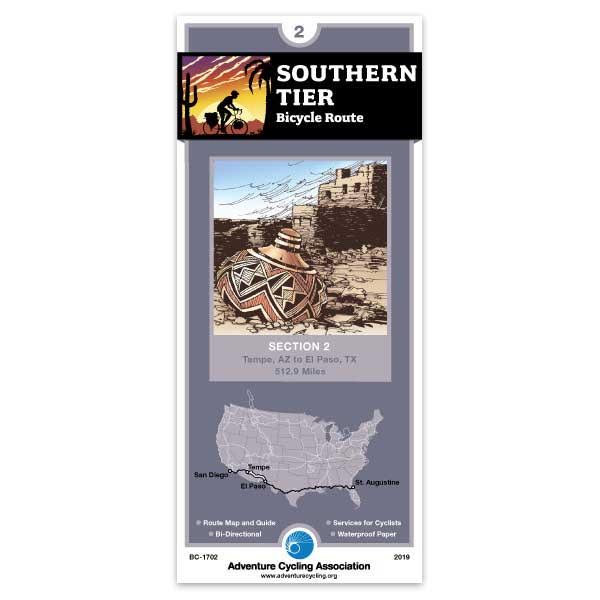
Southern Tier Section 2
142 in stock
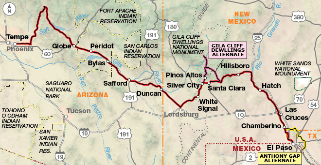
Expect urban cycling conditions with traffic from Tempe to the turn northward toward Usery Pass. After turning onto SR 87, there is a five-mile section of narrow road with no shoulder. Full service towns include Tonto Basin, Roosevelt, Globe, and Safford. Services on U.S. 70 are minimal in eastern Arizona. In Duncan, replenish your stock of food and water. Services are very limited until you reach Silver City. A two-mile detour to Lordsburg is an option for full services. Once you reach Silver City, New Mexico, you have a choice. The main route goes through rolling terrain; enroute you’ll pass the Santa Rita Open Pit Copper Mine. In comparison, the Gila Cliff Dwellings Alternate is 69 miles longer. The alternate goes through historic Pinos Altos and climbs and descends through thick pine forests before reaching the Gila River drainage. This very scenic road is narrow and winding and caution is urged, especially on the descents. After leaving the Gila Cliff Dwellings National Monument, you ride through forests and meadows, and begin another gradual ascent to the Continental Divide. SR 152 is winding and steep with intermittent shoulders over Emory Pass, the highest point on the Southern Tier. Heading south the route parallels the Rio Grande and I-25. SR 28 winds through small towns, farm fields, and pecan groves into El Paso. Click on enlargement for detail.
Map Resources
- Map Features
- Map Updates and Corrections (Addenda) - Always be sure to check for map updates and corrections before leaving on your trip.
- Temporary Road Closure Information
- Frequently Asked Questions
Reviews
There are no reviews yet.