Get the Scoop on the New Arkansas Loops
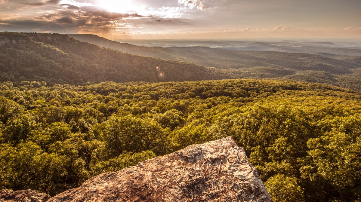
Adventure Cycling cartographers are happy to announce the release of the latest route in the Adventure Cycling Route Network: Arkansas High Country Route (ARHC). With this new addition, our Route Network now measures 48,608 miles and provides three mixed-surface loops along scenic riverways and through the hideouts and “hollers” of the Ouachita and Ozark Mountains in central and northwest Arkansas.

Designed and researched by Chuck Campbell, a high school science teacher and avid bikepacker from Russellville, we were immediately confronted with the choice to create one long 1,200 mi. circuitous loop offering a challenging (hows about roughly 90,000 feet of challenge?) multi-week circumnavigation of Northwest Arkansas, or a series of adjacent shorter loops that would still pass through the same remarkable country, but could be ridden in a more piecemeal fashion. Shorter loop rides also happen to be an oft-requested item from our members, so we chose the latter.
Funded by a grant from the Arkansas Parks & Recreation Foundation (APRF), with additional donations from Adventure Cycling members, the ARHC came together over the course of two years. The resulting mixed surface route will stand alongside Arkansas’ already incredible riding options.
Looking at the Loops
At 500 miles on the nose, the South Loop is the longest loop. It begins and ends in Little Rock at the Clinton Presidential Library on the banks of the Arkansas River, but soon swaps an urban environment for the rocks and ridges of the Ouachita Mountains. After leaving the therapeutic waters of Hot Springs National Park behind, a cyclist has the opportunity to try their skills on nearby singletrack trails of the LOViT (Lake Ouachita Vista) and Womble- both rated as IMBA Epic trails. Other highlights include the big northward ascents and then traverses of elongated Rich and Poteau Mountains, the lodge at Mount Magazine, Dardanelle, and Petit Jean State Park.

The 434 mi. Central Loop is really a tale of two halves. Beginning and ending in Russellville on the shore of Lake Dardanelle, its southern portion remains largely on paved roads of the sprawling Arkansas River Valley. However, the northern portion is characterized by a seemingly unending succession of punchy, rolling unpaved forest roads through the Boston Mountains of the Ozark Plateau and the dramatic Buffalo National River corridor. Very few full service towns dot the periphery, but what they may lack in fresh produce is more than made up for in the rich small-town culture. Be sure to check out the historic Boxley Valley near the river-town of Ponca, Ozark Heritage Arts Museum in Leslie, and Ozark Folk Center State Park in Mountain View.

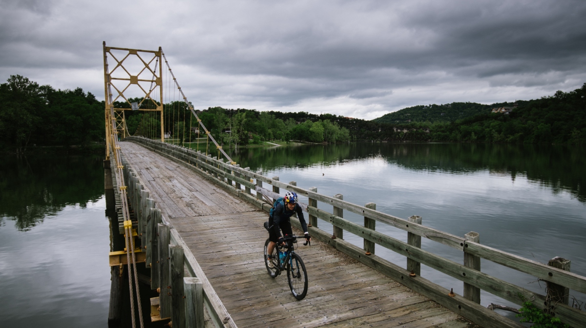
The Northwest Loop clocks in at 238 miles and approximately 15,000 ft of elevation change, making it the shortest and least strenuous of any of the loops. It begins and ends in downtown Bentonville, passes through the civil war battlefield of Pea Ridge before making a brief foray into Missouri, and then crosses the White River on a single-lane wooden bridge at Beaver. Like the Central Loop, the southern part of the loop steepens as it climbs from the shallow Springfield Plateau into the Boston Mountains, along the bucolic Mulberry River, and then up to the popular recreation site on White Rock Mountain. A long descent leads finally to the southern outskirts of Fayetteville, where the route joins the paved, well-signed Razorback Greenway, an off-road, shared-use regional trail linking together 6 communities northwards back to Bentonville.

Loops Mean More Options
The Arkansas High Country Route, in addition to offering primo mixed-gravel riding in an area that has recently become somewhat of a hotbed for it (the Arkansas High Country Race and Ozark Grinder Trail for example), finally takes the Adventure Cycling Route Network on a winding tour through the scenic splendors of the Natural State. That’s 47 of the lower 48 states, and counting!
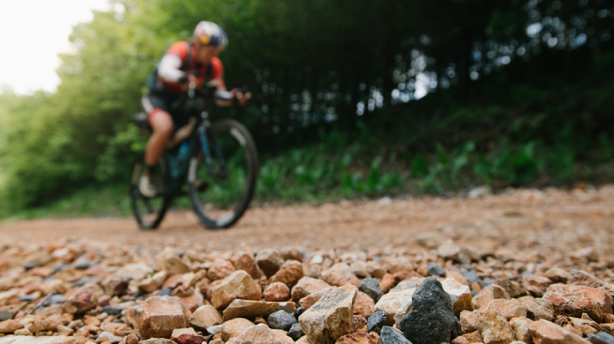
In addition to the LOViT and Womble IMBA Epic Trails, the route puts an adventuring cyclist right on the doorstep of several others. The Ouachita National Recreation Trail, Upper Buffalo Headwaters, and Syllamo Trails are all intersected by the route, and easily blended to make even smaller loops of varying surfaces with more weekend or short-tour opportunities. The route in whole is approximately 50% off pavement (including the optional singletrack) and 50% on paved surfaces.
Maps and GPX Data are available at our online store or purchase the route on the Bicycle Route Navigator app. If you’re interested in joining like-minded souls on this route, check out our inaugural tour offerings this September. But don’t delay, one trip is almost full!
Both Little Rock (international) and Fayetteville/Bentonville (domestic) boast airports, and the route passes mere blocks away from the Amtrak Station in Little Rock, which offers checked bike service.
The Adventure Cycling cartographers and everyone on staff at Adventure Cycling are pleased to share this exciting new route. If you are a Twitter user and want to share or learn from others via tweet, please include the hashtag #acaAHC.

