The Summit is (Almost) in Sight: Into the Whiteout on Loveland Pass
Bicycle touring across the United States can leave one at a loss for words, but the desire to share what has been accomplished compels many of us to document our journey. One of my favorite — and most challenging — events occurred during my second tour. On my way from Boston to Southern California — covering 4,450 miles through 17 states — I crossed the Continental Divide on Loveland Pass in Colorado in October. It was one of my life’s most epic adventures.
Note: The Loveland Pass is on the Great Parks South route. Due to weather conditions like the ones described here, we recommend riding this route from early summer to mid-fall (typically June to September).
The weather in the days leading up to Loveland Pass were favorable — blue skies dotted with a few puffy clouds. The weather report, however, was ominous. I had been warned that Colorado weather can (and will) change in a matter of minutes, so I braced myself for a mix of rain and snow with the forecast predicting wind gusts up to 40 miles per hour.
As I approached Georgetown, I noticed the skies getting darker and snow was moving in. At that point, I wondered how (and if) I would be able to cross the Continental Divide over Loveland Pass.
In Georgetown, I became aware of the incoming weather and the need to prepare my body for the days ahead. I stopped at a motel for two days to rest and acclimate to the elevation, as Georgetown sits approximately 1,000 feet higher than my last stop in Idaho Springs.
I departed Georgetown on day 57 of my tour, with the goal to reach Loveland Pass at just under 12,000 feet of elevation. The cold temperatures and effort it took to regulate my breathing reminded me that the next 27 miles (and more than 4,000 feet of climbing) were going to be one of the most challenging legs of my tour. I’m not easily intimidated by challenges, but on this occasion, I was.
The weather was peaceful as I left the motel. It was cold, but I was rested and ready for what lay ahead. But the serenity was deceitful: I had no idea what spectacle was about to come my way by mid-afternoon.
Despite being dressed in several layers of clothing, I was still cold and laboring to breathe. I accepted the challenge though, and was comforted by the stunning beauty of the landscape: snowcapped mountains, waterfalls, rocky streams, and up-close wildlife.
After leaving Georgetown, I climbed a very cold, steep section on Loop Road. After that, I reached the Silver Plume to Georgetown Express Trail, where I stopped to shed some layers. Not only was I overheated, but I felt a bit sluggish. Luckily, 4.5 miles in, my legs were feeling good and a sign mapping local trails afforded me the opportunity to take a break.
Just after 9:00AM, I was back on my bike, motivated for the task of climbing 2,400 feet over 13 miles from Georgetown to the base of Loveland Pass’s ski area.
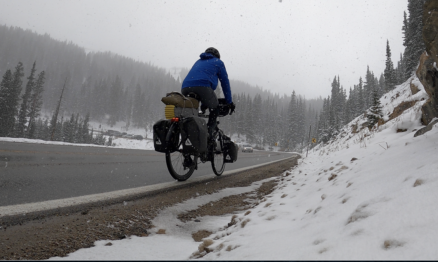
The trail had patches of accumulated snow and ice, and the reality of potentially dangerous conditions snuck up on me. At about mile 10, I crashed (without serious injury or damage to my bicycle) but knew I needed to be more careful. I stopped for a break shortly after and noticed that the snow had begun to fall. I put on my rain jacket and told myself to keep a slow and steady pace. It didn’t seem to take long at all to cover the five miles to Route 6.
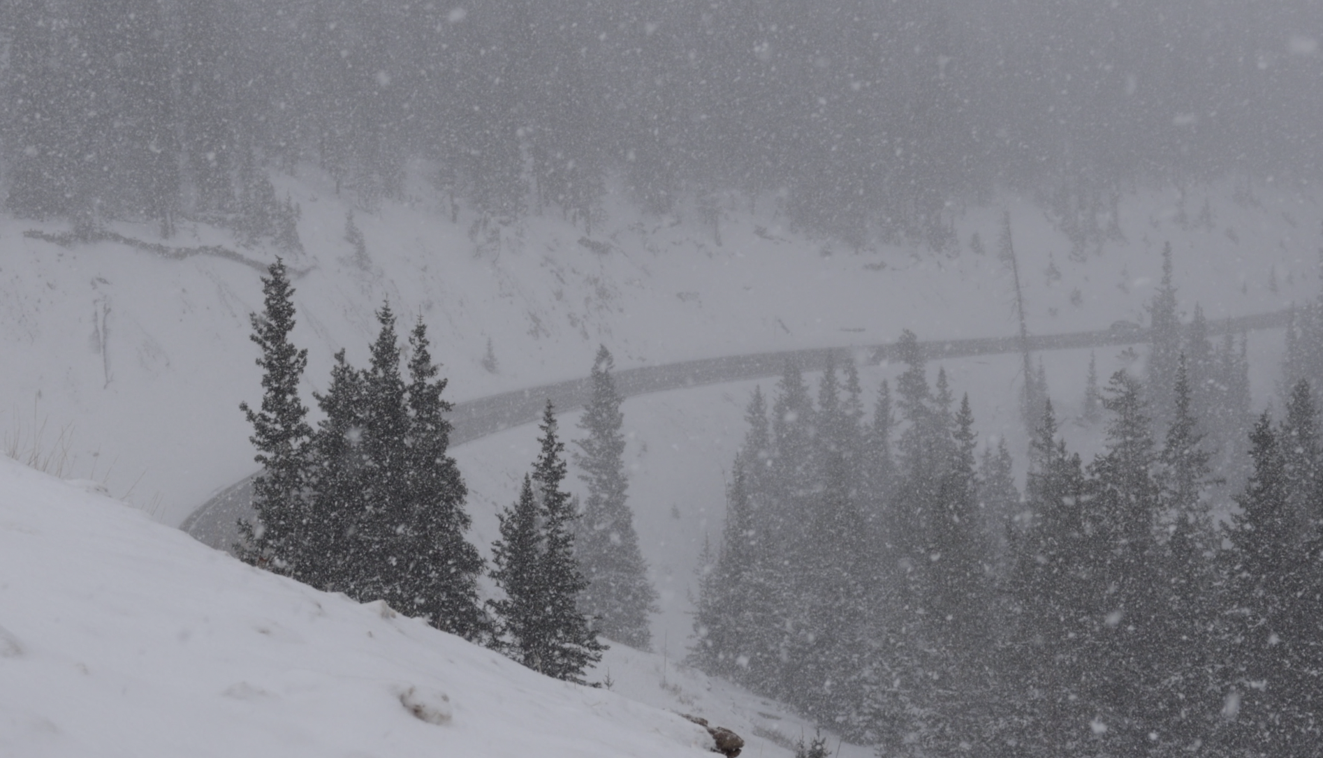
This route is also known as the Grand Army of the Republic Highway, and is where I got my first look at Loveland Pass. The snowfall was intensifying, and visibility was decreasing as I approached the
junction of Interstate 70 and Route 6. The pass loomed large in the distance.
I promised myself that if conditions became too unsafe, I would turn around. That said, I pressed on, climbing the four miles and 1,152 feet at an average gradient of 5.7% to reach the summit of Loveland Pass as the storm intensified. As luck would have it, there was a detour on Interstate 70 that had the majority of the traffic moving eastbound as I continued westbound. This gave me plenty of room on the marginal shoulder, and it helped me get into my climbing groove. I started cranking the miles at a steady pace, gaining strength and confidence as I went on.
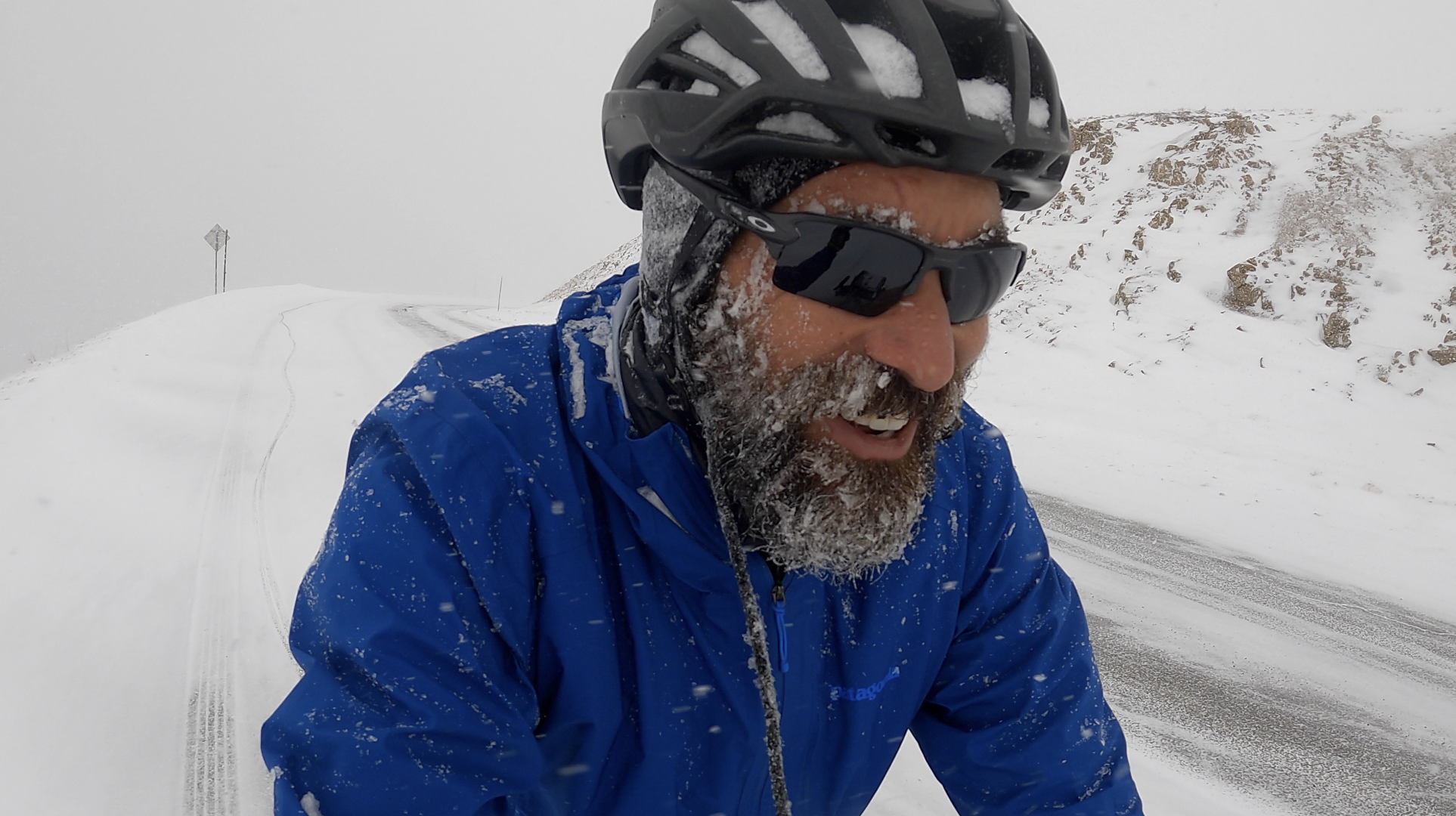
Ice accumulated on my beard around the halfway point, but otherwise, I felt better than I had all day. My legs felt good, and I was managing my breath. I was in a positive place mentally, but oncoming motorists were still hollering at me. Most were cheering me on, but one man yelled, “You’re insane!”
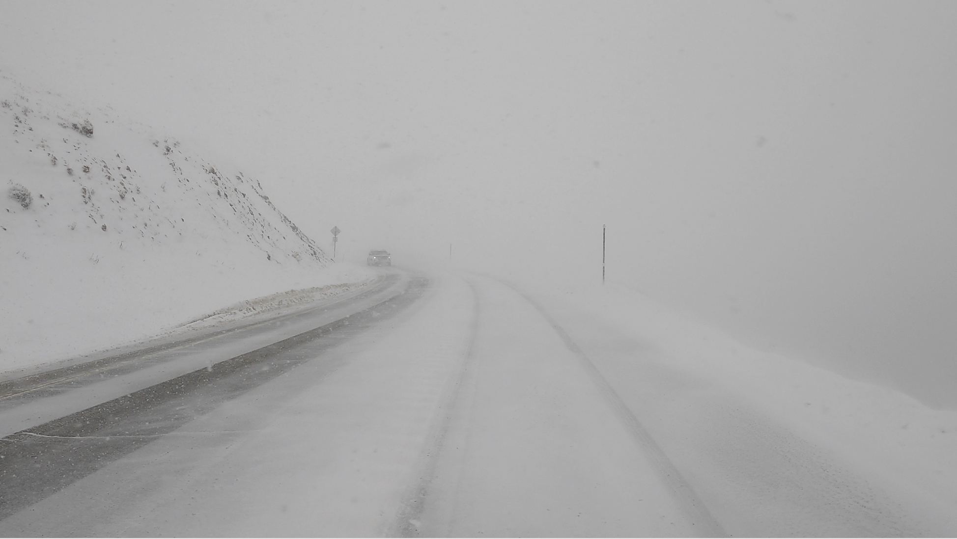
While I was grateful for less traffic, the road conditions were becoming treacherous. I could not see the road ahead of me due to the snow, and I was becoming snow-covered at the same time. Ice that had begun forming on my beard was now on all of my facial hair. I continued cranking, one-tenth of a mile at a time, for the final mile.
.jpeg)
As the Loveland Pass sign came into view, I broke out into exhilarated laughter. A woman shouted, “Yeahhh!” and I echoed her euphorically. I stopped in front of the sign, psyched at the beauty that surrounded me, and the gratitude I felt for my buddy Ryan. His words of encouragement had given me the confidence to tackle this part of my tour, despite my feelings of apprehension.
After taking some time to catch my breath and revel in what I had just achieved, I knew I needed to head down the mountain. The temperature was less than 20 degrees, and I no longer had the momentum of the climb to generate body heat. My clothes were soaked with sweat, and I was becoming a windshield. I proceeded slowly, maintaining my body temperature and being careful to avoid a second crash.
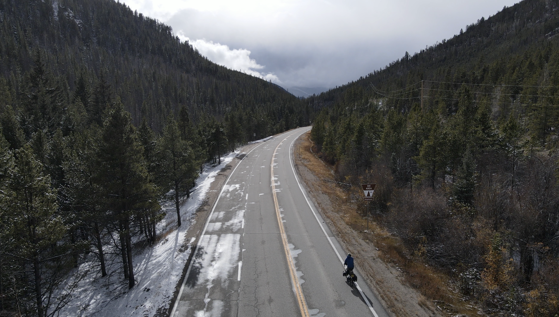
It was not long before I reached the Arapahoe Basin Ski Area where I warmed up before taking in another spectacular Colorado Rocky Mountain downhill. As I was finishing the day’s journey, I reflected on how memorable the experience had been. I successfully met the challenges of altitude, weather conditions, and my breathing. This part of the tour only served to fuel me to keep going and take on even more passes in Colorado and beyond. Watch the video below to witness my harrowing climb, including my fall, and eventual victory.

