How One Legally Blind Cyclist Toured California’s Inter-Mountain Area
I used to drive all over California exploring every State Park and National Park possible. I often saw bicycle tourists riding along the road, marveling at their equipment and often wondered how they were able to pedal such heavily laden bicycles. I thought at some point I might try a bicycle tour myself.
Unfortunately, my life took a different path.
In 2000, I began having difficulty reading normal-sized text. Driving my vehicle became challenging as objects on the road would vanish and reappear in front of my eyes. 2001 brought mass lay-offs at my work, and while I tried several temp jobs, my vision continued to deteriorate.
In 2005 I was forced to sell my car after being diagnosed with Leber’s hereditary optic neuropathy — or Leber optic atrophy. This condition is mitochondrially inherited (transmitted from mother to child), and in my case, began a slow degeneration of retinal ganglion cells and their axons, which lead to loss of central vision.
I moved in with my parents in Redding, California during the 2008 recession, and my days of traveling, camping, and exploration came to an end.
I reentered college under the sponsorship of the California Department of Rehabilitation, which allows disabled students to pursue a college degree with the support of technology. During this time, I couldn’t drive to class, and taking the bus meant a two-mile walk, then 90 minutes on the bus. I decided to go back to riding bicycles, commuting 22 miles a day by bike.
I dreamed of one day resuming my adventures on a bike, particularly in the Inter-Mountain area, which included McArthur Burney Falls State Park and Lassen Volcanic National Park. The question was: how could I do this with my disability? My condition rendered me partially blind, which included severe contrast issues, tunnel vision, partial color blindness, floaters, holes in my vision, and almost no depth perception.
But I could still see the white line on black asphalt. For road signs and signal lights I used a small pair of binoculars. I did not have a smartphone, so I scanned road maps onto my computer and enhanced them to suit my visual needs. It took several years of research, but I gradually gathered the equipment and resources. The only trouble was, all this gear was heavy.
Then, in 2015, I saw a Pedego electric pedal-assisted cargo bicycle at an Energy Fair. It had interchangeable cargo racks, a 400-pound payload, five levels of pedal assist, a throttle, and it could pull my old cargo trailer. It was powered by a lithium ion battery that could be recharged through ordinary power outlets and could last 30-40 miles depending on cargo load.
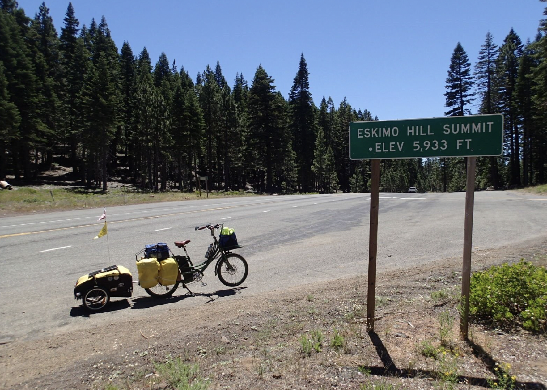
This bike seemed to be an answer to my dilemma. After several modifications and endless testing of its capabilities, it was time to resume my adventures.
I planned this trip for June, but equipment issues forced me to postpone several times. The first issue was the number of flat tires on the rear wheel. Replacing the tubes on a standard bike was easy compared to an electric bike where the wheels were bolted to the frame and were heavier than an ordinary bike.
I had to be careful sliding the wheel in place, ensuring the rotor slid into the brake slot while keeping in mind where the power cord for the motor was located. If it fell short of the connector, you had to pull the wheel off and start over. For someone with bad eyesight, this was a nightmare. Then I heard about motorcycle-grade tires made for electric bikes. In addition to the three Kevlar belts and plastic sidewalls, I included thorn-resistant tubes filled with green slime, teflon tape, and liquid latex. It was as close as I could get to armored tires.
The second issue was a spare battery. The original battery was a 48-volt, 13 amp/hour lithium ion. The recharge time is two to four hours, and I needed to extend my range without stopping constantly to recharge. I purchased a 48-volt, 17 amp/hour battery that significantly extended my range. Each battery weighed 11 pounds, and the bike weighed 76 pounds total, including batteries.
I tested the battery life under different loads and terrain conditions while I waited for the new tires to arrive. The new battery did well, but the recharge time was nearly doubled. I estimated my new range was about 50 miles with a fully packed bike and trailer. The distance from Redding to my first stop at Burney was 54 miles, so I would need at least one recharge on my first day.
A window of opportunity appeared in the form of cooler temperatures in mid July. I planned to leave at dawn, which would mean I had the sun in my face, but I could see debris on the road more easily. I have contrast and depth perception issues with my vision — when the sun is behind me, I cannot see the shadows of debris on the road, making the debris invisible to me. When the sun is in front of me, I can see the shadows of debris, and am able to avoid them.
***
Day 1
My Redding neighbor and his wife (Peter and Shelley) told me if I made it to Burney Falls State Park the next day, I would be welcome to join the festivities of their annual family reunion.
I left my parent’s house a few hours after dawn, following quiet rural roads until I reached California State Route 299 which would take me to Burney. My primary battery was at four-fifths power with 42 miles to Burney, and I was maintaining level one pedal assist.
By 9:45 AM I had traveled about 25 miles. Even though I had been using level 1 pedal assist, I seemed to be using battery quickly, and even with the motor assist my left foot and knee were throbbing.
My maps were scanned onto my tablet so I could magnify the image and see details. I can’t see the screen in daylight, which meant I needed shade to read the maps.
The traffic was nice throughout the day as the shoulder came and went, though at times I could sense the impatience of the traffic behind me as I struggled up the grade. I switched batteries a little before 12:00 PM, pausing at the base of a major climb. My first battery was in ration mode, which meant it only had pedal assist once in a while.
As I drank half a liter of water, I thought this is it. My legs were too destroyed to go on any further. Now what? Flag down a passing motorist for a lift?
By the time I reached Round Mountain, the heat had increased, and my stamina had decreased. I looked around for a place to rest and recharge the first battery. The climb was rapidly draining my second battery, and being on assist level one meant I used my legs more than the motor in order to save battery life.
I spotted a supply store on the other side of the road. I rode over, introduced myself, and asked if I could rest and recharge the batteries. The owner’s name was Randy. He and his wife’s hospitality overwhelmed me. I was given a folding chair under the tarp, an extension cord for my power pack, ice cold water bottles, and a tour of the store.
I left Round Mountain after recharging myself and the batteries for almost two hours. The grade continued to increase until I reached Montgomery Creek and I stopped at a local cafe to tank up my water bottles.
Once I cleared the town, the grade turned even steeper. My batteries were not at full capacity, and were barely up to half level when the power rationing kicked in again. The heat was beating down and there was no shade anywhere. I could smell burning brakes from all the cars going down the grade.
My legs began to give out on me. I wanted to stop at the rest area at the top, but I couldn’t get there — my mouth was too dry from panting, and I felt like I was going to burst into flames. As the grade curved I saw a small tree against the embankment. I managed to drag my rig off the road and dropped to the ground into the scant shade.
As I drank half a liter of water, I thought this is it. My legs were too destroyed to go on any further. Now what? Flag down a passing motorist for a lift? After resting for 15 minutes, I dragged my rig onto the road and stepped on my pedals. To my astonishment, the short rest was enough to get me going.
The rest area ended up having no outlets, and I had to juggle the batteries, though they did end up dying at the top of Hatchet Pass. I made it to the motel at 5:45 PM after almost eleven hours of riding.
I felt exhausted, sweaty, and a bit depressed. My parents were encouraging though, and helped boost my confidence. I set an alarm to switch the batteries over to make sure both were charged. It had been the hardest day of my life but I did it!
Day 1 miles: 61.3
***
Day 2
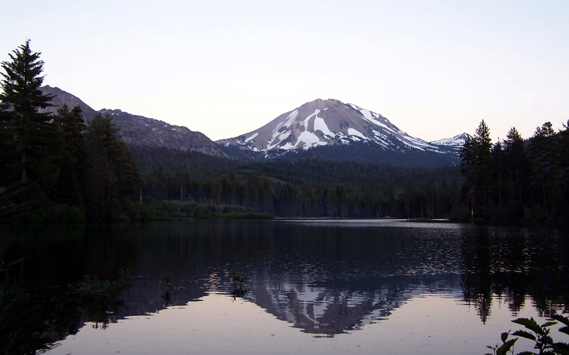
I turned left onto Highway 89 the next morning. This highway is also called the Volcanic Legacy Scenic Byway, which means it traverses the line of volcanoes from Lassen, up 500 miles to Crater Lake National Park in Oregon. I arrived at Burney Falls at 12:00 PM, and got free entry because of my California State Park disability pass. They showed me where the hiker/biker campsites were, but I couldn’t read it and most of my magnifiers were packed away. I roamed around trying to match up campgrounds with what they told me. Shadows from trees covered up the paths making it difficult for me to navigate, much less find smaller roads. I almost wrecked on boulders lying alongside the road because I couldn’t see them in the shadows.
Caretakers cleaning cabins took the time to show me the way, which was nice of them. When I did find the site, I was in shock by how basic it was. There was a sign warning campers that the area was frequented by mountain lions, so I decided to get a car camping site.
I locked up the bike at the car camping site, grabbed my white cane, and proceeded towards the falls. The walkway had been redone since the last time I was there, and there was a fence keeping people off the rocks around the falls. I was glad I had the cane to navigate the steps, but it made me feel like an old man.
Peter and Shelly were waiting for me at the site, and Shelly cleared a spot behind their tent where I could set my own up. I had a great dinner from Peter and Shelly’s family, and everyone lifted my spirits. I wished I could bring them all with me.
Day 2 miles: 25
***
Day 3
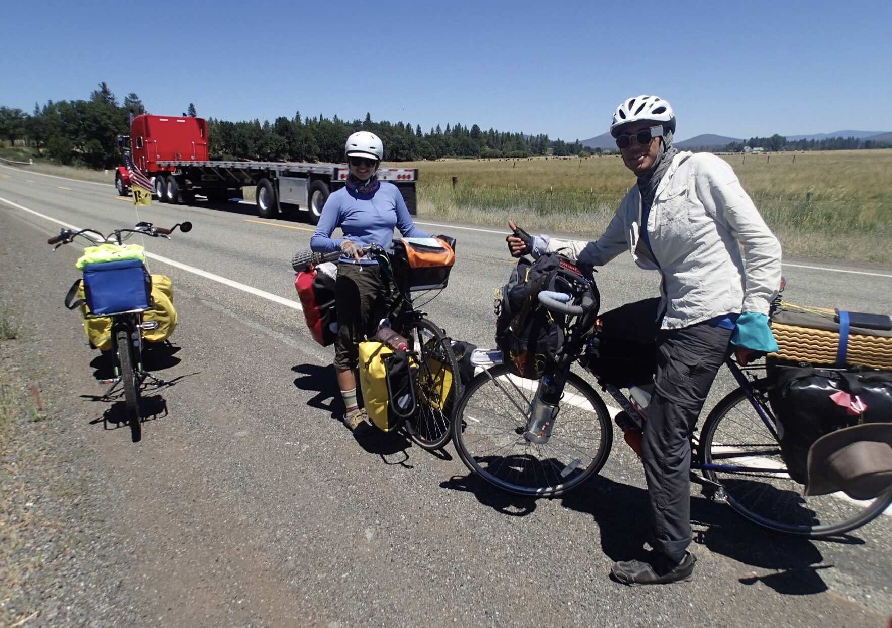
I left Burney Falls around 11:45 AM after a great breakfast with the family. I wanted to stay, but since there was no cell phone coverage here, I couldn’t call the RV park and rearrange my next reservation. I exchanged phone numbers and went on my way.
I took a side trip to an observatory, which added miles but was well worth it, especially since the caretaker let me charge my batteries while I walked around.
I made it to the Rancheria by around 3:00 PM. The tent site was mostly gravel with an electric box that allowed me to recharge the batteries. A water spigot provided drinking water, and it seemed like mostly retired people who stayed for the summer. Some of the RV’s had little picket fences and fake plants outside the trailers.
The internet did not work at all and there was no cell coverage. The managers charged me two dollars for a phone call, but I had to call because my parents were worried about me.
After dinner I took a walk around the RV park, and considered my plan, thinking I might pass up Hat Creek Resort and go all the way to Lassen Park.
Day 3 miles: 30
***
Day 4
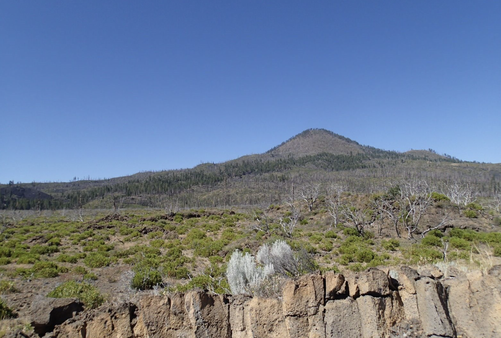
After I left the Rancheria, the terrain continued to change from conifer forest into a more volcanic landscape and I finally got to see Hat Creek. It ran full and fast, and I could see Lassen Peak in the distance.
After an hour’s ride, I reached Old Station at the intersection of Highway 89 and 44. Since I was only 15 miles from the park, I decided not to go to the Hat Creek Resort for the night. I replaced my first battery halfway between Old Station and Lassen Park as the grade got steeper, reaching Eskimo Hill Summit at 5,933 feet… the highest I’d ever been on a bike.
My cargo trailer was having some problems, and the Goal Zero battery had fallen out the back and was dragging along the ground. The trailer was old and worn out. This was probably its final bike tour.
After a steep climb, I made it to the park entrance. It was a real thrill for me to ride into a national park on a bicycle. My lifetime disability pass got me in for free, and I went to the campground behind a store where they had an abundance of sites next to Manzanita Lake.
Inside the park museum, I talked to a young ranger named Austin about recharging my batteries, which needed multiple hours to charge. Austin told me he would come back to the museum at 8:30 PM and I could switch batteries then. The helpfulness of people along the route was like a boost of energy.
I rode back to my campsite after swapping the battery, but I had to go slowly. The headlight that came with this bike was inadequate for night riding. I made a mental note to get a more powerful headlight to install on the handle bars. The mosquitos hassled me all the way while moths attacked the headlight.
My parents told me that it was going to be 103 degrees in Redding during the weekend. I figured I would stay here an extra day to recuperate, and do some short hikes. If it got any hotter in the valley, I might stay up here longer. I did have plenty of food.
Day 4 miles: 35.5
***
Hanging at the Campsite
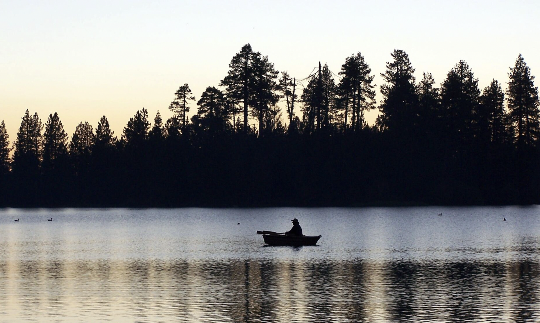
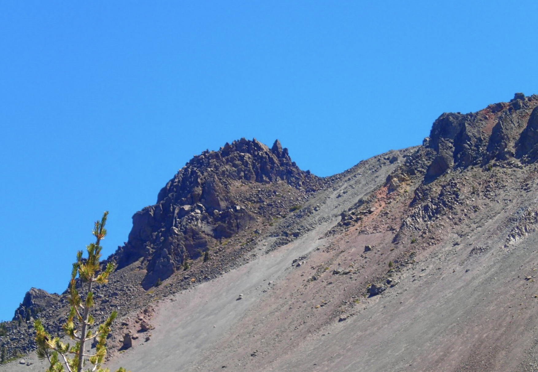
I hiked the Chaos Crags Trail in the morning, which started at the visitor center, and allowed me to lock my bike to racks next to the museum. I was still pretty wiped out from the ride, so a short hike was more than enough.
The trail started in the woods with Manzanita Creek running parallel. A couple of hikers came by and said they had gone off-trail to check out a saddle on a ridge between crags, but I was having a hard time navigating the trail covered with tree shadows, and didn’t want to go off trail. The top of the trail had a great view of the Chaos Crater, and after a few photographs, I headed back down the trail.
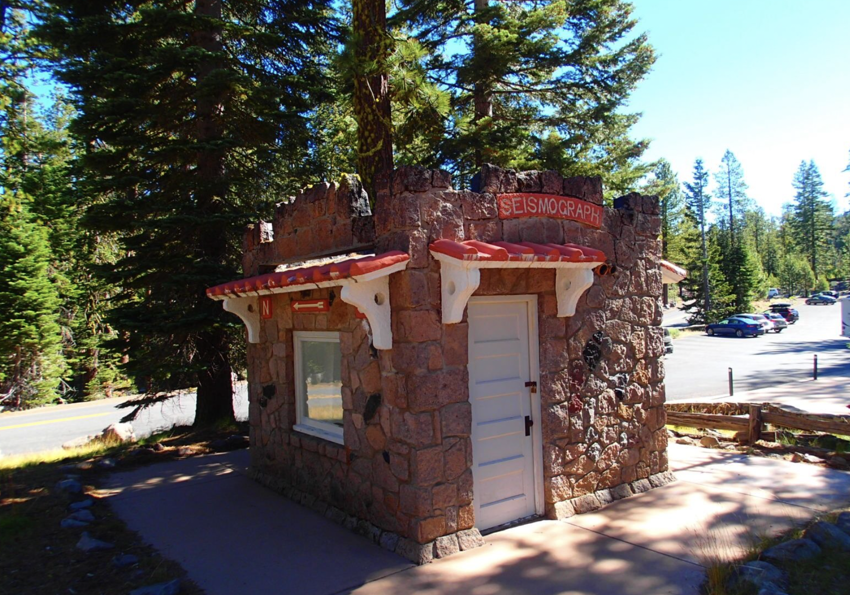
From the trailhead, I went to the Loomis Museum to get National Park patches where Austin was about to begin a presentation at the seismometer. After the presentation, I went over to the laundry hut to recharge my phone and wash my laundry. The campground filled up throughout the day, and I had new neighbors.
I had set up my tablet on the picnic table, and was busy entering data from this trip. A bunch of guys with their sons came by, thinking I was a scientist here to monitor the volcano. I got an invitation to have dinner at their camp, and they wanted me to come over and talk to the rest of their group about my journey.
I went for an evening hike up Manzanita Creek Trail, and when I got back I found that every site had been taken by people trying to escape the heat in the valleys. It was a rowdy bunch, and I figured I would just head home in the morning.
***
Day 6
I packed up early, and let my neighbors know my camp site was available in case they had friends who wanted to join. I had 46 miles from the park entrance to Redding, and it was virtually all downhill.
As soon as I hit flat land, I started using the motor again. I didn’t exchange batteries until I got to Old Alturas Road near Redding. Once I was on familiar ground, I made my way quickly through bike lanes and bike trails.
The main purpose of this trip was to see if I could ride a bicycle tour on my own, despite my disability. I did it. I proved I can do it, and I think I can do it again.
Total trip miles: 236.6

