Choosing Navigation Tools: Maps, Apps, or GPS?
So, you’ve made a few key decisions about your bicycle adventure: you know what style you prefer and what types of terrain you want to ride. You have an idea of the place you want to ride in and how long you have away from “real” life. But how are you going to navigate your route while you’re out there?
If you’ve chosen a route within our Adventure Cycling Route Network, navigation becomes pretty easy. All of our routes are mapped. Our maps feature turn-by-turn directions, detailed navigational instructions for the tricky sections, and elevation profiles, as well as service information specifically for cyclists.
If you’re not following an Adventure Cycling route, you have a wide variety of navigation tools to choose from, some of them a perfect fit for a particular tour, some of them less so.
Maps
The great thing about maps is that you can see the lay of the land around your route, letting you figure out what’s ahead and around you. An app might not show you the points of interest around your route or alternative routes through an area.
Maps are also handy in rural places where electrical outlets can be hard to come by on a daily basis. A dead navigation device could leave you in a pickle.
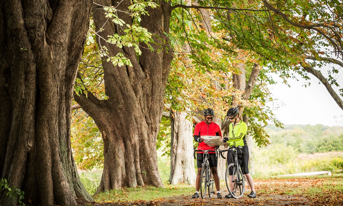
There’s also something special about laying a map out on a table and seeing the adventure as a whole or taking your map up to a stranger when you’re lost and need help — maps are a universal language and a conversation starter. No one wants to pore over your phone’s tiny screen with you. There’s just something magical about maps.
The drawback of maps is that, depending on where you are, they might not show the minute details of roads and turns that a touring cyclist needs to navigate. In addition, the more detail a map shows, the less land area the map can cover. For a touring cyclist traveling 40–80 miles per day, that could make for a lot of detailed maps or fewer less-detailed maps to carry.
Many states in the U.S. have bicycle route and trail maps available to cyclists. Check with the state’s department of transportation or with the Pedestrian and Bicycle Information Center. Map quality can vary widely.
GPS Devices
GPS devices are pretty nifty. They allow you to preplan routes and provide turn-by-turn directions, which is especially useful in cities. They’re designed for cycling, so they’re more durable, weatherproof, readable in sunlight, and have a longer battery life than a smartphone. As an added bonus for those who like to track these things, most GPS devices allow you to download your tour once you get home and upload it to your favorite online tools like Strava and Endomondo.
On the other hand, GPS devices are expensive and the quality varies widely depending on the underlying map the device uses. While the battery life is longer than that of a smartphone, it still has limited capacity, which could be a problem for those traveling in rural or wilderness areas.
Apps
The number of route-planning and tracking apps has proliferated in recent years. And their quality keeps improving as well.
Take note that web applications make great tools for planning your route — it’s just easier to plan a route on a big screen computer than it is on a tiny smartphone. Some web applications, however, may not have a corresponding app or might not have downloadable data for the route you planned, rendering them nil as far as navigation goes.
Of mobile navigation apps, there are many! When comparing them, you’ll want to look for offline capabilities (so you don’t run up your data and down your battery), bicycle-specific route options, and an easy-to-use interface. If you’re planning a long tour through different types of terrain or a tour through the mountains, topo lines or some sort of elevation indicator will be helpful.
Some apps are free, some charge a flat fee, and some have pricing options dependent upon what you want to do. Some apps’ features work best in certain countries where cycling-preferred routes are options, whereas some apps simply have not mapped particular parts of the world.
Our favorite breakdown of offline mapping tools comes from Long Haul Trekkers. Having bicycle toured extensively in Europe, South America, and the U.S., they know which apps have the best features for navigating each continent.
Long Haul Trekkers don’t, however, touch on apps that are best for bikepacking in the backcountry. For backcountry trail navigation in general, Gaia GPS and Backcountry Navigator have long been reliable offline tools. A couple of good cycling-specific apps that have bikepacking functions are Ride with GPS and Komoot.
A Few Notes about Smartphones
A smartphone may be the most magical travel tool in existence. Navigation, accommodations, services, and a whole host of related information are all accessible in one handheld machine. It’s amazing.
Keep in mind, however, that batteries need charging often, the glare from the backlit screen will make it difficult to read sometimes, and it’ll need to be kept handy but out of the weather. More gear — like power banks, solar chargers, smartphone mounts and covers — can solve these problems, but then you have more gear to buy and keep track of.
Local Knowledge
On a long bicycle tour through unknown lands, local knowledge can be your best navigation tool. Don’t be afraid to ask for help; being vulnerable and friendly can lead you to pleasant conversations, local must-see sights, and better bicycle routes than technology could ever give you. A local’s directions might also be terrible, but the rewards of connecting with others outweigh the risks.
Our Advice
Choose of a combination of maps and digital navigation tools. Combined with help from those you meet along the way, you’ll always be prepared and find your way, despite getting lost a time or two, and you’ll definitely have good stories to tell from your adventure.
