Eastern Canada Route
A bilingual ride linking Toronto, Ottawa, Montréal, and Québec City by rail trail, canal path, and country lane, with thermal spas and French charm along the way.
- Distance
- 927 miles
- Surface
- 60% paved
- 3 weeks–2 months
- Route Type
- Point to Point
Ride the Eastern Canada Route
Riders follow rail trails and canal paths through wetlands, forests, and farmland on gentle grades, then cross the St. Lawrence by ferry to Québec City’s cobblestone streets.
What to Expect
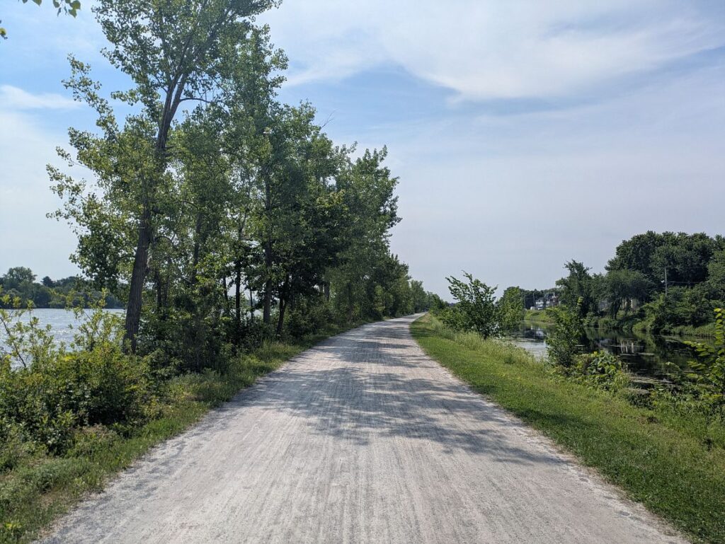
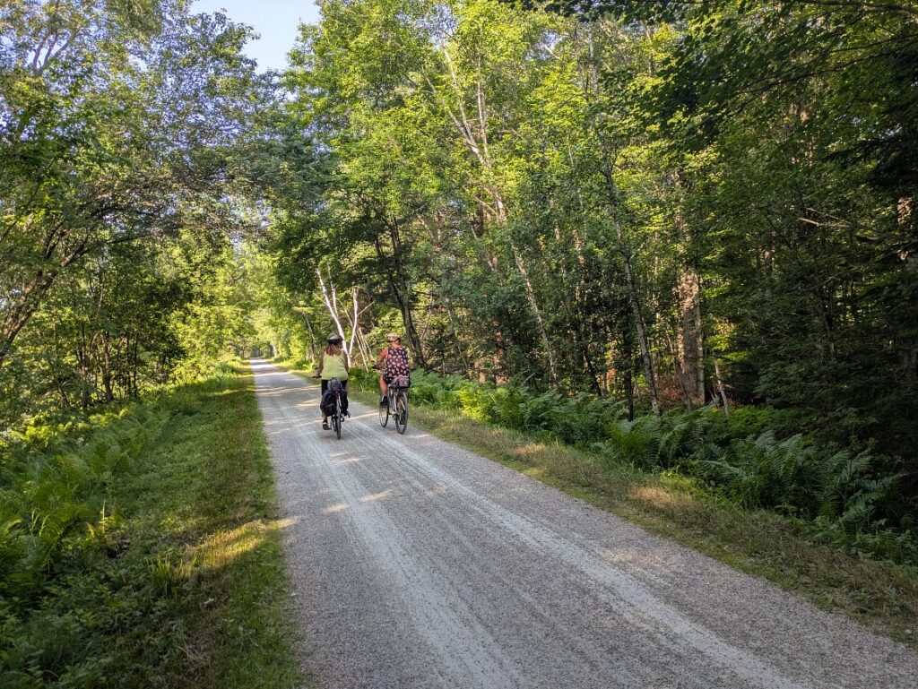
This route strings together four major cities with a surprising amount of car-free riding, about 65% of the Main Route on separated paths and protected bike lanes. Expect rail trails, canal towpaths, and quiet farm roads through wetlands and Canadian Shield forest, with French-speaking Québec arriving halfway through. Low elevation and gentle railway grades keep the climbing manageable, and about 40% of the surface is smooth gravel or crushed stone.
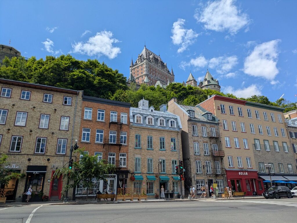
Few rides let you cross a cultural border without leaving the country. Partway through, the road signs, café menus, and campground greetings switch to French, and the trip starts to feel a world away from where it began. Québec rewards riders with one of North America’s strongest bike cultures: the Route Verte network, bike-friendly Bienvenue Cyclistes stops, more than 100 gourmet stops on the Véloroute Gourmande, and thermal spas for tired legs. The scenery shifts just as much, from the lakes and rocky forest of the Canadian Shield to Laurentian villages and maple country. Then a ferry across the St. Lawrence brings you to the walled city of Québec, a finish that feels centuries old.
The route stays low, topping out at just 1,405 feet near Mont-Blanc on Section 2, with no major mountain passes. The Canadian Shield and the Laurentians bring the hilliest riding, though trails built on former railway corridors soften many grades. Section 3 is the flattest overall, while the Main Route on Section 2 requires the most climbing per mile.
The full Adventure Cycling route includes detailed riding conditions and field notes for every climb and descent.
Cities and towns are well spaced for most of the route, but a few stretches call for planning. The most remote is the 103 miles between Tweed and Perth on Section 1, where campgrounds are nearby but hotels are sparse outside Northbrook and Sharbot Lake. On Section 2, Wakefield has the last on-route hotels for 68 miles until Maniwaki, and services remain limited between Maniwaki and Mont-Laurier. Dispersed camping options are limited, so plan each night’s stay in advance. Bears live in the Canadian Shield, the Laurentians, and the Eastern Townships, and cell coverage fades in the most remote areas, so download your Ride with GPS route for offline use.
The route can generally be ridden from late spring through fall, with summer and early fall offering the most favorable conditions. Summers are warm and humid, with daytime highs around 77 to 81°F and frequent thunderstorms. Black flies peak in May and June and mosquitoes linger all summer, so carry repellent and consider a head net. Many campgrounds are open only from May through October, and some unpaved Route Verte sections in Québec close from mid-October to mid-May. September brings cooler days and fewer insects, and October rewards riders with spectacular fall color.

Route Sections
Toronto, ON to Ottawa, ON, 364 miles
Starting at Biidaasige Park on the Toronto waterfront, the route follows the Don River trails, the Meadoway, and the Waterfront Trail before climbing over the Oak Ridges Moraine to Uxbridge. Crushed-limestone rail trails then lead through Lindsay and Peterborough, with highlights including Doube’s Trestle Bridge, Lang Pioneer Village Museum, and the Ranney Gorge Suspension Bridge in Campbellford. East of Tweed the route enters the Canadian Shield, where services thin out and the K&P Rail Trail leads to Sharbot Lake, then continues through Perth and Smiths Falls to Parliament Hill in Ottawa.
Ottawa, ON to Montréal, QC, 289.8 miles
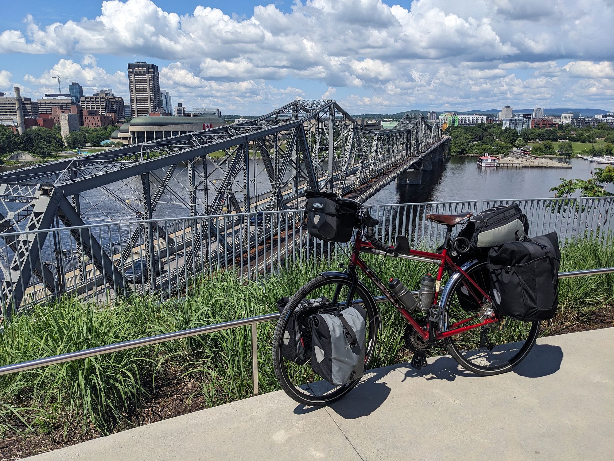
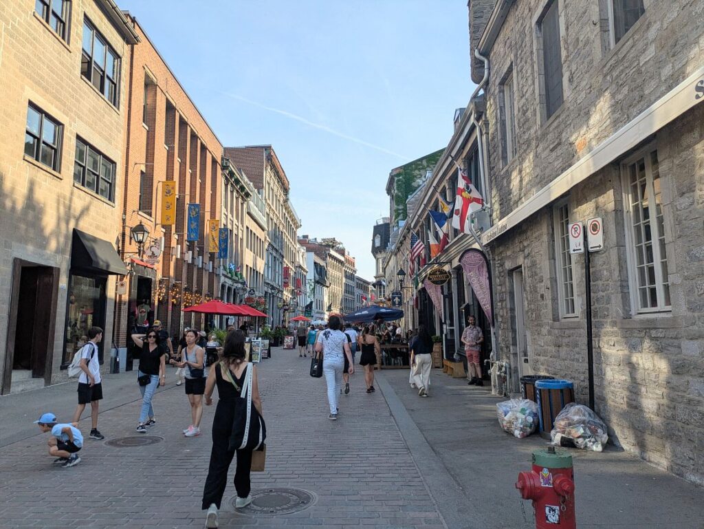
From Parliament Hill, the Main Route crosses the Alexandra Bridge into Québec and follows the Voie Verte Chelsea to Wakefield and its historic covered bridge. It continues north along the Gatineau River, crossing the Paugan Dam and following the Véloroute des Draveurs to Maniwaki and Mont-Laurier. There it joins Le P’tit Train du Nord, a former railway corridor that runs 145 miles south through Mont-Tremblant, Sainte-Agathe-des-Monts, Val-David, and Saint-Jérôme, then through Laval into Old Montréal.
Alternates:
- River Alternate, 136 miles. This more direct and flatter option follows the Ottawa River through farmland on the Ottawa River Pathway and the Prescott-Russell Trail, crossing into Québec on the Long-Sault Bridge at Hawkesbury. It rejoins the Main Route in Laval by way of Route Verte 1 and Oka National Park, where a dedicated Bienvenue Cyclistes group site welcomes riders, and it makes a good choice for early- and late-season trips since the Ottawa and Montréal area has a longer, warmer shoulder season than the Laurentians.
Montréal, QC to Québec City, QC, 272.8 miles
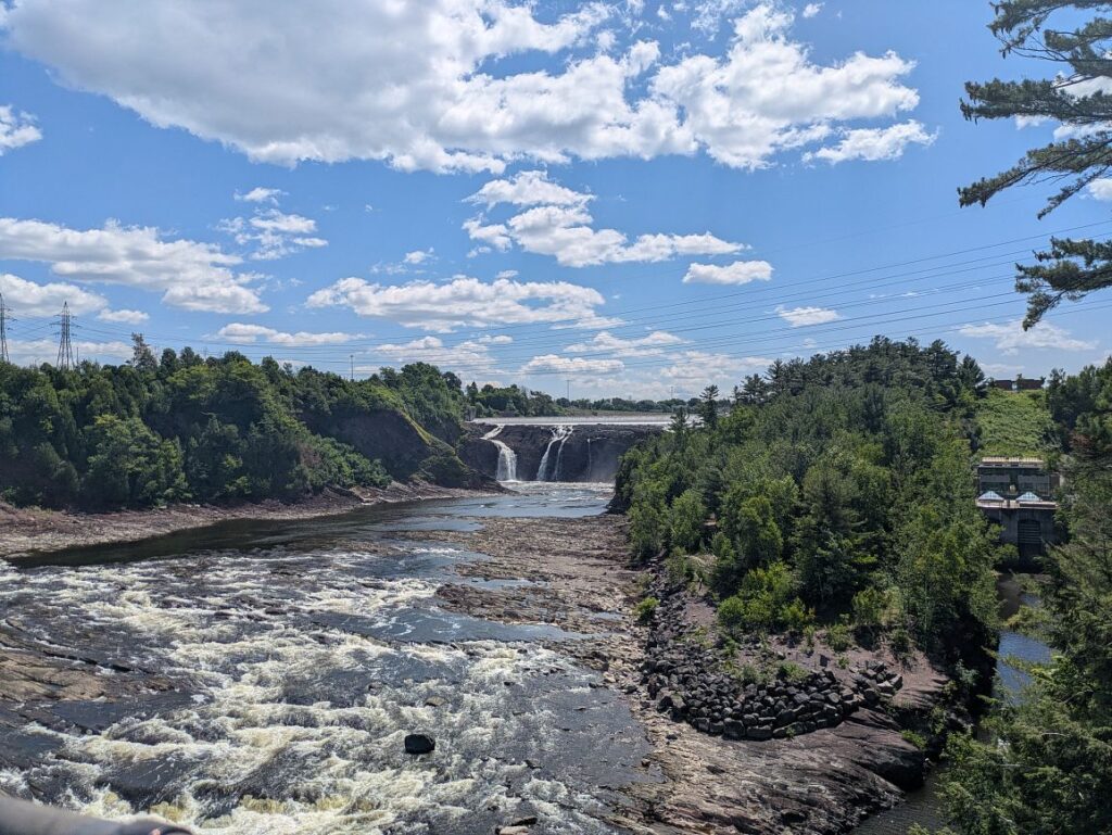
The route leaves Old Montréal on paved bike paths across Saint Helen’s Island, then joins Route Verte 1 to Chambly, home to Fort Chambly National Historic Site and the start of the Chambly Canal path. La Montérégiade and L’Estriade bike paths lead through Granby and into the Eastern Townships, where La Montagnarde climbs through Mont-Orford National Park to Magog, North Hatley, and Sherbrooke. Beyond Sherbrooke the route crosses Québec’s flat agricultural heartland through Richmond, Victoriaville, and Plessisville, then passes the Chaudière Falls suspension bridge in Lévis before a ferry across the St. Lawrence River delivers riders to Québec City.
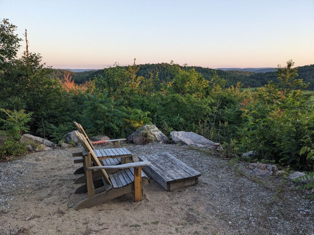
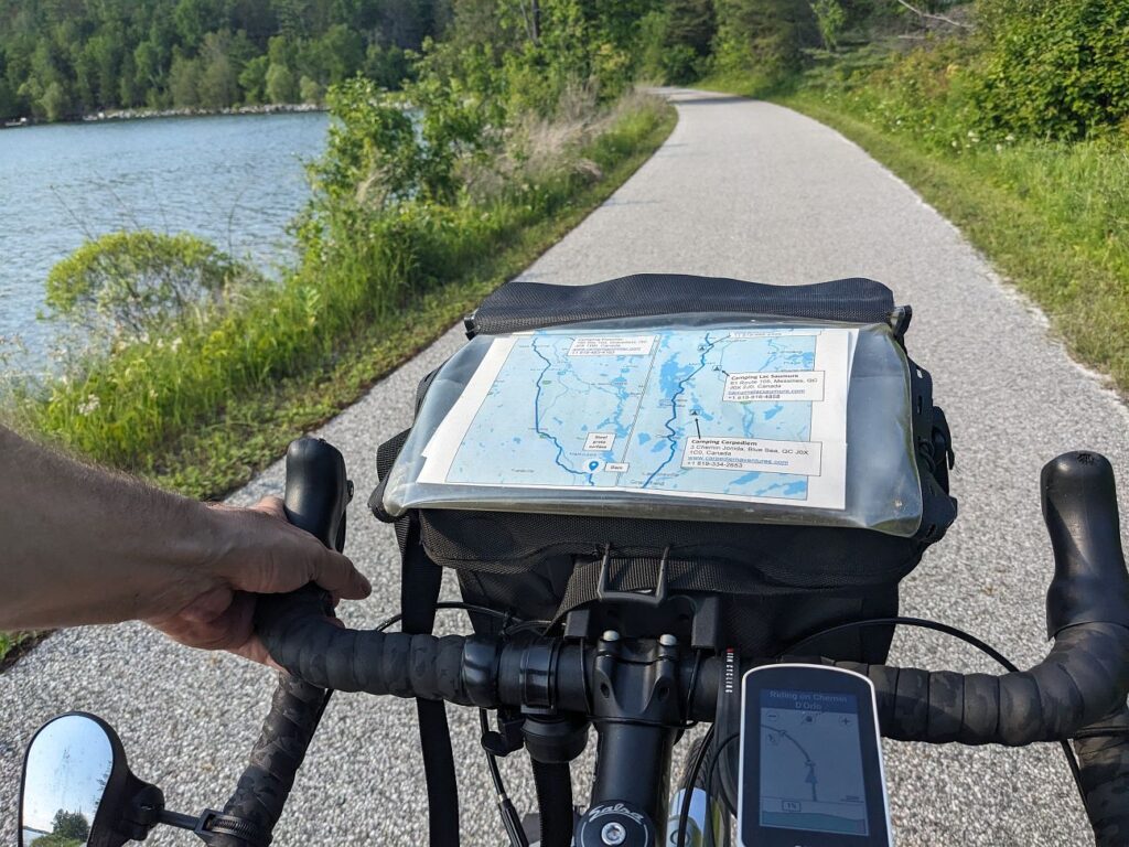
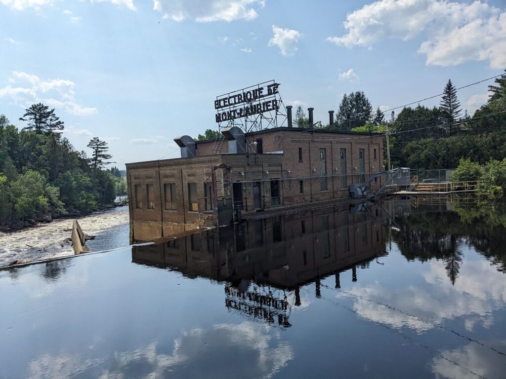
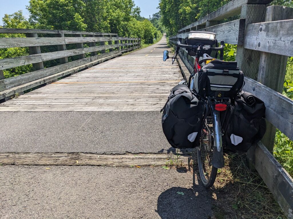
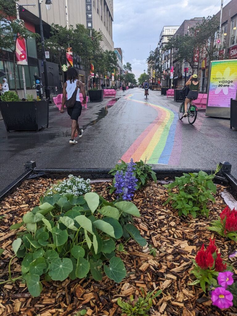
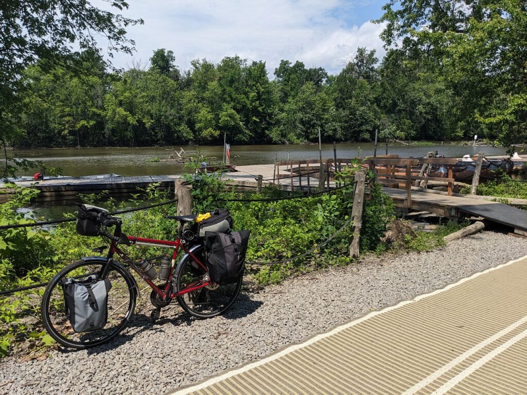
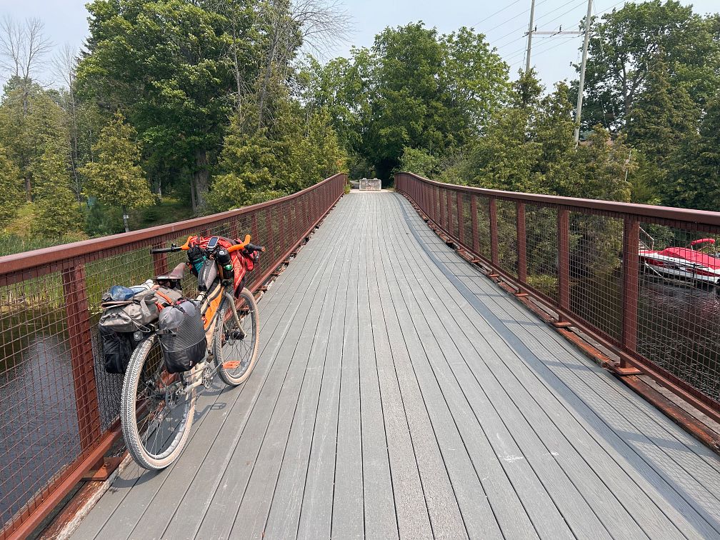
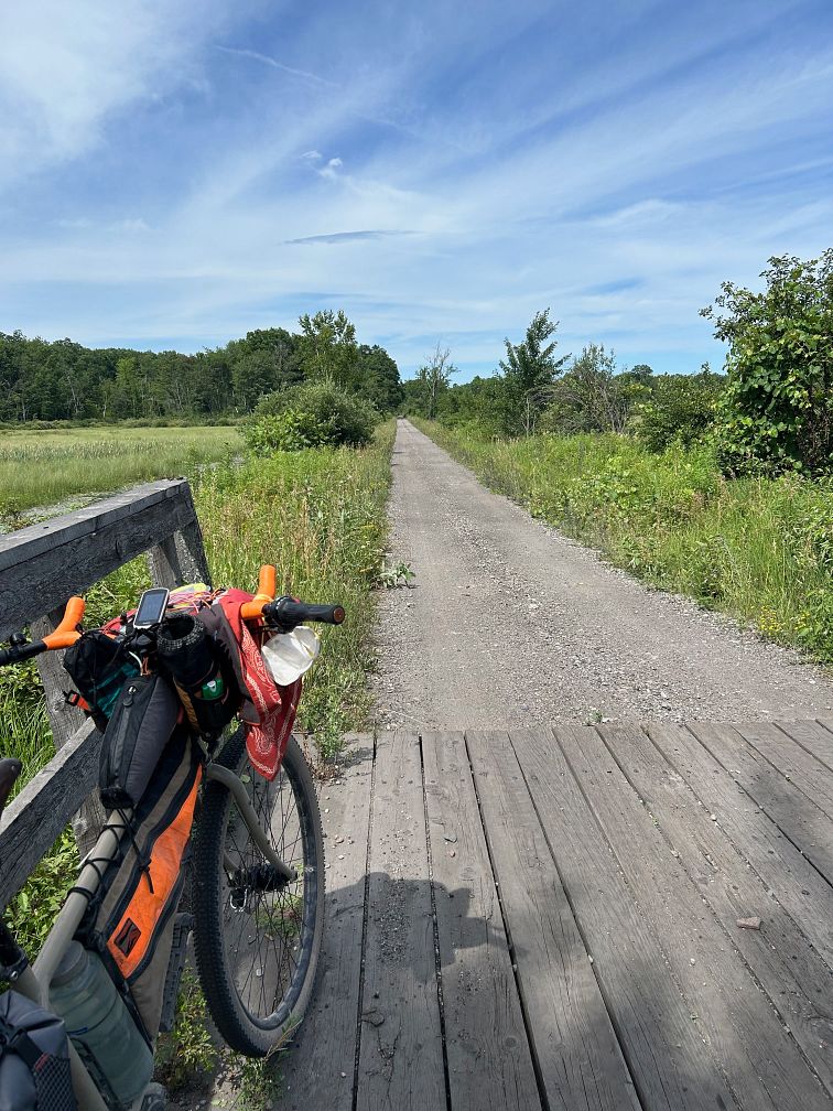
Eastern Canada Route Photos
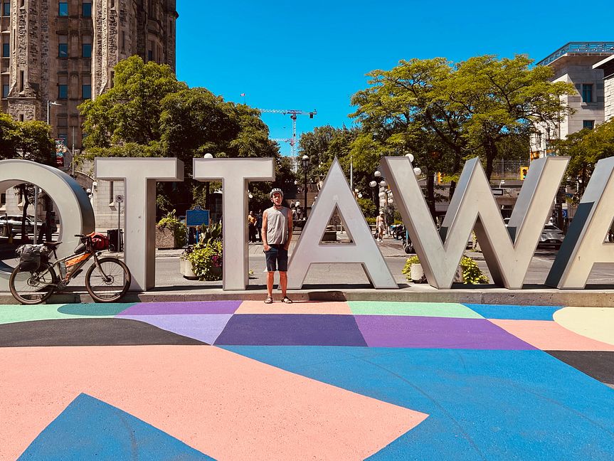
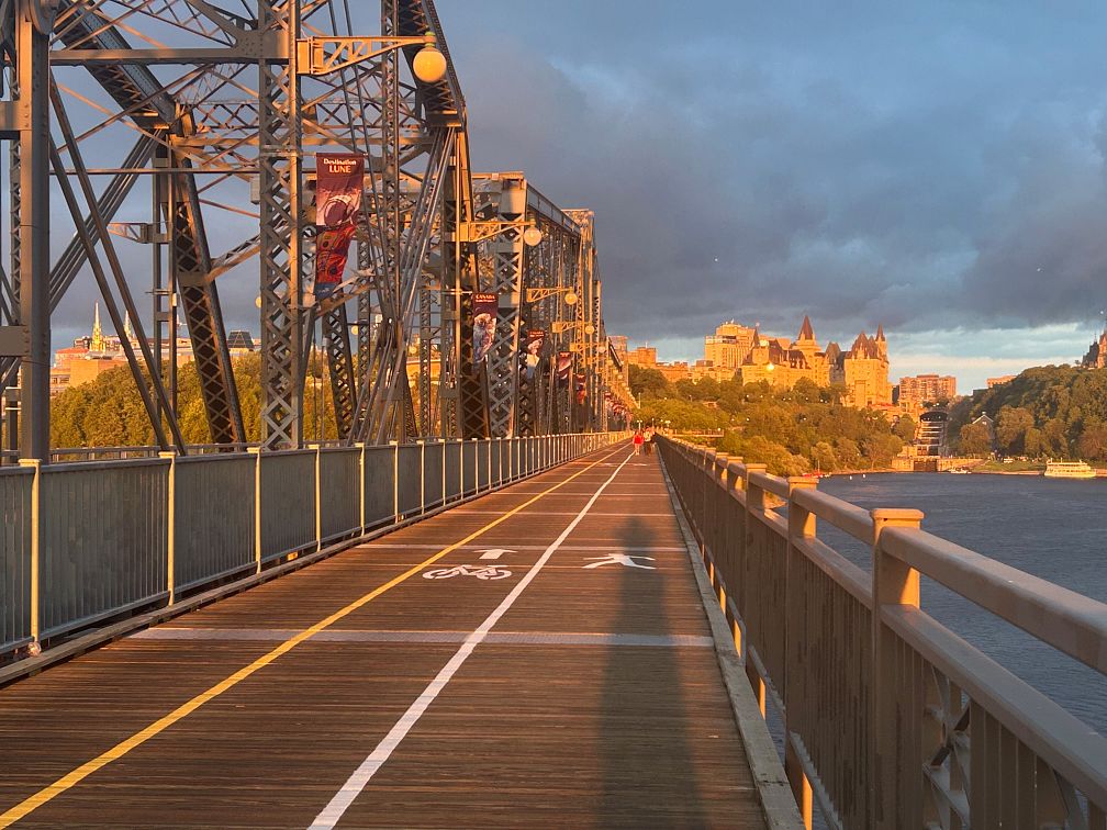
Plan Your Ride
Seasonal trail closures in Québec and a language shift partway through make this ride worth planning ahead.
Trip Planning & Logistics
Toronto, Ottawa, Montréal, and Québec City all have international airports, so reaching either end of the route or any point in between is straightforward. VIA Rail connects the cities, and bikes are currently permitted on trains between Ottawa, Montréal, and Québec City but not between Toronto and Ottawa, a policy that may change, so check VIA Rail before booking. The route is divided into three sections at the major cities, which makes it easy to ride one or two sections for a shorter trip.
Most riders will need two to four weeks for the full route, including rest days. As a digital-only route, it’s available for purchase through Adventure Cycling’s shop as a Ride with GPS experience, which includes routing, detailed service information, riding conditions, and field notes for trip planning.
A gravel or touring bike with tires 35mm or wider is recommended, since the route mixes paved roads and bike paths with smooth unpaved trails. Carry plenty of insect repellent, and consider a head net or bug jacket for the Canadian Shield and the Laurentians in peak insect season. English is widely spoken in cities, but riders may need French in smaller villages, so download the French files in a translation app before leaving cell coverage.
Commercial campgrounds are available along every section outside the major cities, though the distance between them can be significant and many are seasonal. Because the route passes mostly through towns, parks, and private and agricultural land, opportunities for dispersed camping are limited. In Québec, Vélo Québec’s Bienvenue Cyclistes program certifies bike-friendly campgrounds, hotels, and restaurants that offer secure bike storage and waive minimum stays, though policies are applied inconsistently, so call ahead. Where hotels are sparse, such as between Tweed and Perth, private cottages and cabins booked through vacation rental services are often the best indoor option, and accommodations in Ottawa can be expensive.
Uxbridge, Lindsay, and Peterborough each offer most of what a traveling cyclist needs, but there is very little between them, so stock up on snacks and water before heading out. Services are limited between Maniwaki and Mont-Laurier, and the pavilions along the Prescott-Russell Trail on the River Alternate have no running water. Small towns along Le P’tit Train du Nord offer restaurants and groceries every few miles, and the Véloroute Gourmande between Montréal and Sherbrooke highlights more than 100 gourmet stops. Plessisville, the self-proclaimed maple capital of the world, is the best place to stock up before the final stretch to Québec City.
Check your digital route in Ride with GPS for service phone numbers, and call ahead for anything outside peak season.
Bears live in the Canadian Shield, the Laurentians, and the Eastern Townships, so store food and scented items properly and check for ticks after riding in wooded areas. Use caution on the short stretch of the Trans-Canada Highway near Sharbot Lake and on busy Moodie Drive in Ottawa. The Waterfront Trail near Rouge Beach is detoured for construction until it reopens, expected in 2027.
When we learn about a change, we reroute around sections that have become dangerous or are temporarily closed for road work, bridge outages, or construction, and we update service information as businesses open, close, or move. Digital routes are updated as soon as we’ve reviewed a reported issue.
You’re often the first to spot these changes out on the road. Help us keep this route accurate for the next rider by reporting anything you notice with our Route Feedback Form.
This Route Is Part of Something Bigger
It’s one piece of the Adventure Cycling Route Network, began in 1976 and built on a simple mission: to empower people to travel by bike. Our team maps and maintains it; our members and donors make it possible.
-

Explore the Adventure Cycling Route Network
Our premium routes are well researched by our cartographers and well traveled by thousands of cyclists.
Adventure Cycling Route Network -
Support Route Development
Our members are the reason we can offer three route networks tailored for specific experiences and riders.
Become a Member -

Stay Connected
Find your stoke with our newsletter all about routes, gear, stories, and cycling news in your inbox twice a month.
Sign up for Bike Bits
Frequently Asked Questions
It’s our flagship, staff-built route network. The one that started it all 50 years ago with the TransAmerica Trail, the route that launched bicycle touring and bikepacking in America. Every route in it is designed and researched by our own team of cyclists and cartographers: months of research and on-the-ground testing go into each one, so what you get is more than a line on a map. Each Adventure Cycling route has detailed logistics, terrain and elevation info, points of interest, camping and lodging, safety alerts, and history, all in one place. It’s the most in-depth of our three networks, available as digital routes and most as paper maps too. It’s the route network we update most regularly as conditions change.
They’re related, but not the same thing. The Adventure Cycling Route Network is made up of routes we’ve researched, ridden, and mapped ourselves, chosen specifically for a great touring or bikepacking experience. The U.S. Bicycle Route System (USBRS) is a state-by-state national system that we serve as technical experts for, made official through each state’s department of transportation. The two overlap in a lot of places, but an ACRN route carries our own on-the-ground vetting; a USBRS route carries official state recognition.
It depends! If you want a route we’ve personally scouted end to end, with services, camping, and terrain notes built in, start with the Route Network. The ACA Route Network has routes of many different lengths and can be a much easier starting place for someone new to bicycle travel. If you’re an experienced cyclist piecing together an officially designated corridor, or riding somewhere the two systems converge, the interactive USBRS map is a good resource to use.
The Adventure Cycling Route Network is a premium network because of everything that goes into it. Unlike the U.S. Bicycle Route System (built by state DOTs) or Short Routes (submittedby cyclists in their own communities), every Adventure Cycling route is researched, ridden, and vetted end-to-end by our own team. Unlike other routes, Adventure Cycling routes come with extensive information on riding conditions, terrain notes, camping and lodging info, logistics, safety alerts, and points of interest. We also keep it current as roads and services change. The price supports that ongoing research and maintenance work, done by a nonprofit whose whole mission is making sure the route in your hands is one you can trust.
Turn-by-turn directions with a bike icon aren’t the same as a route built for specifically touring or bikepacking. Every mile in the Adventure Cycling Route Network has been researched and ridden by our staff and researchers, chosen to avoid dangerous traffic, and mapped with what a touring cyclist actually needs — food, water, camping, hotels, bike shops — spaced out along the way. The Adventure Cycling Route Network was built for cyclists by cyclists, is regularly updated, and comes with the resources and information needed to plan your ride.
No. The network includes routes for a wide range of experience and difficulty levels, from a first multi-day trip to a cross-country expedition. What every route has in common is that it was chosen with a touring cyclist’s needs in mind, whatever kind of trip you’re planning.
Not at all. Alongside iconic long-distance routes like the TransAmerica Trail, the network includes shorter regional routes, so it works for a weeklong vacation or a two-month journey.
For many years, we focused on paved routes, but today the network includes plenty of unpaved gravel riding for bikepacking. In fact, Adventure Cycling mapped the Great Divide Mountain Bike Route in 1998, arguably the most impactful bikepacking route in the world. The Adventure Cycling Route Network also includes the Golden Gravel Trail, Idaho Hot Springs Mountain Bike Route, Arkansas High Country Route, and more. Some routes are a 50/50 mix of pavement and gravel. Some routes follow paved and unpaved bike paths and rail trails. The Adventure Cycling Route Network has terrain for every cyclist.
We revisit our printed maps every three to five years, and push corrections to our digital route data as we learn about changes on the ground. If you have an Adventure Cycling Route in Ride with GPS that we’ve updated, you’ll get a notification when you open the route to update to the newest version of the route. Updating will ensure you have the latest data, information, and points of interest vital to being on route. For cyclists who have Adventure Cycling paper maps, we keep a list of route- and section-specific updates current on our Map Updates and Corrections page.
Change comes from two directions: our own staff research and reports from the cyclists actually out there riding them. If a bridge washes out, a shoulder disappears, a campground closes for repairs, or a town loses its only grocery store, that’s the kind of thing that triggers an update. You can help us keep our routes accurate; fill out our Route Feedback Form.
Most of our Adventure Cycling Routes come as waterproof print maps and digital Ride with GPS navigational data. Our print maps are the #1 longstanding popular resource for traveling cyclists. They are waterproof, highly detailed and always work. For long trips, many cyclists use a combination of print maps and digital routes.
If you’re already comfortable and familiar with a GPS navigational aid such as Ride with GPS or a Garmin, our digital data packages are an excellent choice. We do not recommend GPX data for beginners since there are a few extra steps to installing and troubleshooting.
Once you purchase a digital route, you’ll get an email with a link to unlock it in the free Ride with GPS app — no separate subscription required for basic navigation. From there you get turn-by-turn voice directions, curated points of interest like campgrounds and bike shops, and field notes on the history, geography, and climate along your route, all available 100% offline. If you’drather use a dedicated GPS device, you can export the route as a GPX file to load onto a Garmin, Wahoo, or similar device.
To export GPX files of your Adventure Cycling digital route, use your laptop or desktop to open the email you received after purchasing your digital route. Click on the link that allows you to access your Digital Route. Finally, click on EXPORT ALL at the bottom of the screen. This is the only way to export files that include the route line, points of interest, and services. Files will be exported as one ZIP file.
Adventure Cycling uses abbreviations across its paper and digital routes to indicate particular services, land or road types, route names, direction of travel, and route type. Please see our key to abbreviations.
If you have questions on how to purchase a digital route or about the route content, please contact Adventure Cycling: cartography@adventurecycling.org or 406-721-1776.
If you have questions on how to use your Digital Route in Ride with GPS, please check the Ride with GPS support page or email them at info@ridewithgps.com.
If you’re new to Ride with GPS, please check out the following resources:
Our print map panels aren’t always oriented northwards for space and layout reasons. Refer to the north arrows to help orient yourself if you’re not sure.
No. The Routes and Mapping Department does not do custom routes for individuals. Check out the routes we’ve already mapped, and use the interactive map to piece our route networks together, forming a route that gets you from a point A to point B of your choice.
It started with a single route. In 1976, we mapped the TransAmerica Trail, and more than 4,000 cyclists crossed the country together for Bikecentennial — the nation’s bicentennial cycling celebration our founders organized. That one route became the seed of a network we’ve spent the decades since expanding. Today it’s more than 58,000 miles of mapped routes across the U.S. and Canada, from classic epics like the TransAmerica Trail, Great Divide Mountain Bike Route, and Pacific Coast, to shorter regional routes.