K&P and Cataraqui Trails
Ride two gravel rail-trails from Kingston to the Rideau Canal, passing beaver ponds, lakes, forest, and quiet rural communities.
- Distance
- 68 miles
- Surface
- 2% paved
- 1–2 days
- Route Type
- Loop
Get the Route in Ride with GPS
Access the details and download free digital maps
 Open in Ride with GPS
Ride the K&P and Cataraqui Trails
From Kingston, Ontario, follow the K&P and Cataraqui Trails north through wetlands, forest, and lake country to a night at Chaffey’s Lock on the Rideau Canal, then ride back.
What to Expect
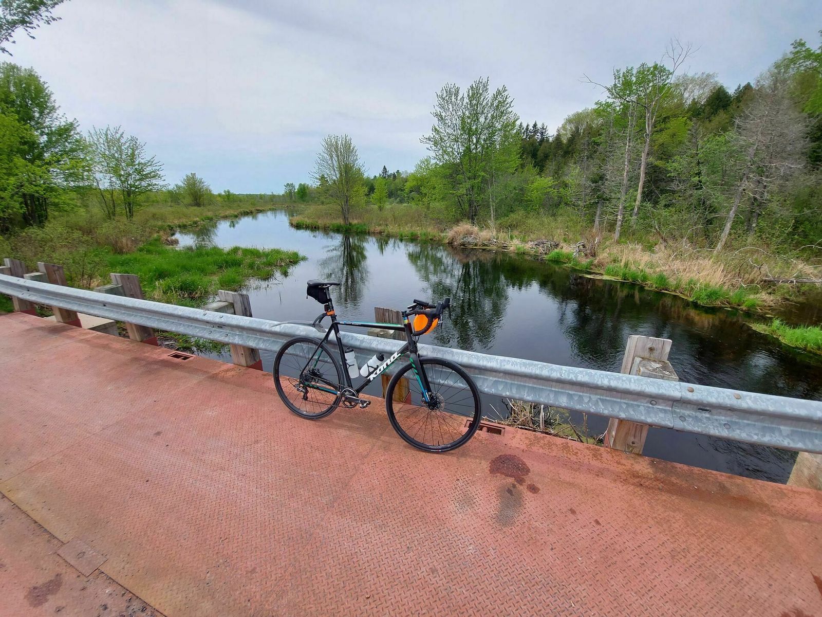
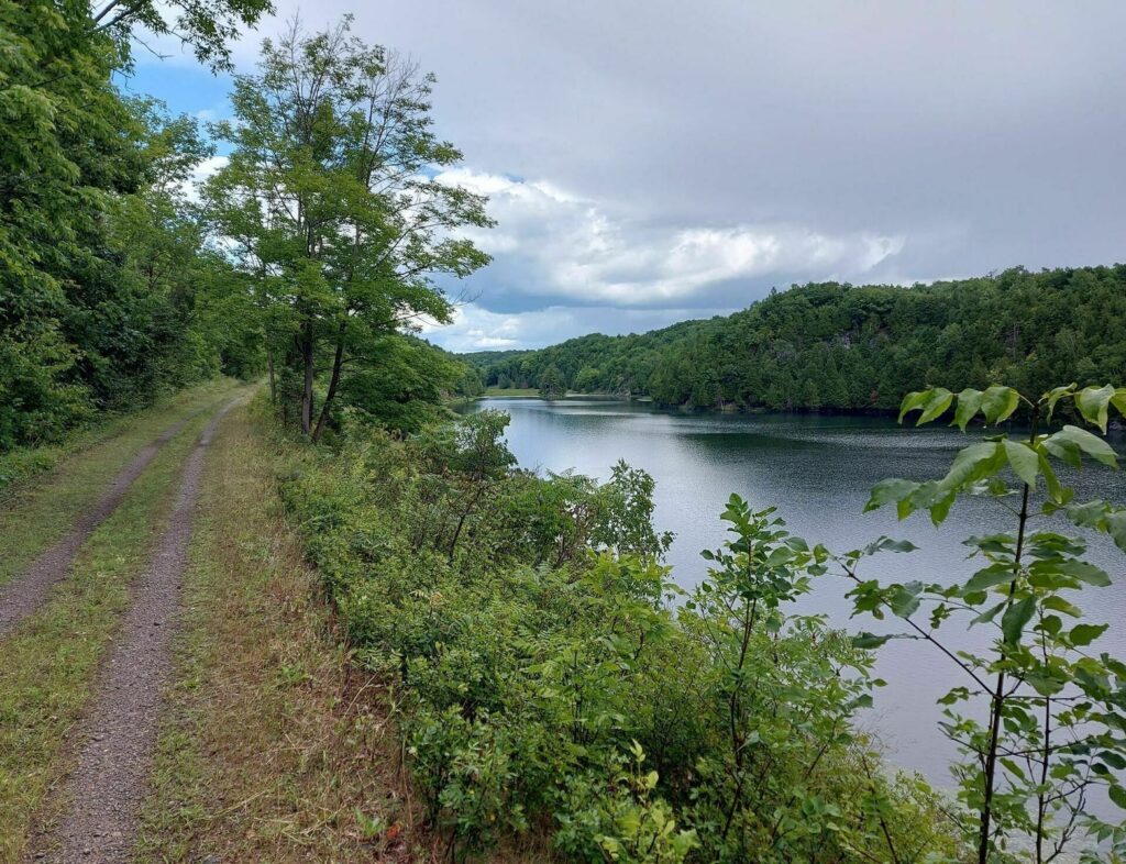
A gentle two-day out-and-back with very little climbing and an almost entirely unpaved surface. Variable gravel and a few rough spots add texture without changing the trip’s relaxed, waterside character.
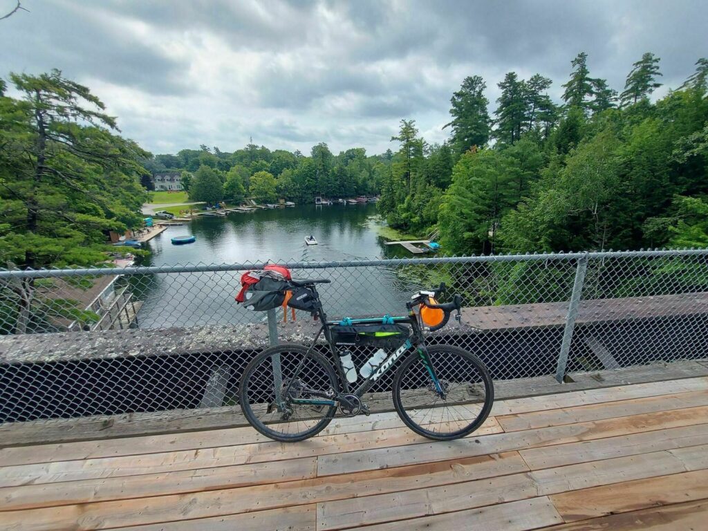
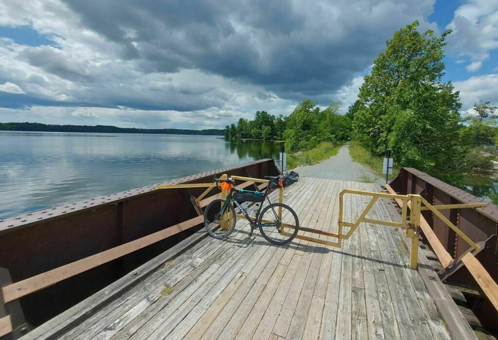
Beaver ponds, creeks, lakes, and the hand-operated lock at Chaffey’s give the route a strong relationship with water. The convergence of two rail trails with the historic Rideau Canal makes the overnight feel naturally connected rather than simply turned around.
The route covers 68 miles and gains 959 feet. Most miles use flat or gently rolling rail-trail, but the Cataraqui Trail varies from firm gravel to short, rougher sections.
Kingston has full services, and small communities provide food along the way, but some trail stretches have limited water, cell coverage, or repair help. Carry the basics needed to handle a flat or mechanical issue on gravel.
Late spring through early fall offers the warmest and driest conditions. Summer is popular, while spring mud, autumn rain and leaves, insects, and winter snow can substantially change the surface and pace.

K&P and Cataraqui Trails Photos

Plan Your Ride
Treat the 68 miles as at least a two-day out-and-back, confirm the Chaffey’s Lock overnight, and check both trail systems after rain or seasonal maintenance.
Trip Planning & Logistics
The route starts and ends in Kingston and turns around at Chaffey’s Lock. Parks Canada allows tent camping at most Rideau Canal lockstations at the lockmaster’s discretion, so confirm current operations, fees, arrival procedures, and availability rather than assuming a site. Download the official Ride with GPS route for offline use.
A gravel bike or mountain bike is ideal, and a sturdy touring bike can work with tires around 40 millimeters or wider. Bring flat-repair supplies, insect protection, rain layers, lights, a lock, and enough water capacity for quiet trail stretches.
Tent camping may be available at Chaffey’s Lock at the discretion of the lockmaster. Cottages, inns, and lodges are also available nearby. Confirm the exact overnight, seasonal hours, fees, water, and food service before leaving Kingston.
Kingston offers full supplies, with smaller food options along the corridor and dining or treats around Chaffey’s Lock. Check seasonal hours at The Opinicon and carry enough food to avoid depending on a single business.
Trail surfaces can soften, wash out, or become overgrown after storms. Slow for walkers and wildlife, use lights in low-visibility forest, and check official trail and lockstation notices. Follow Canadian entry requirements if traveling from the United States.
Routes change. Bridges wash out, businesses close, and construction pops up overnight. We strive to keep routes updated as those things happen. When we learn about a change, we reroute around sections that have become dangerous or are temporarily closed for road work, bridge outages, or construction, and we update service information as businesses open, close, or move. Digital routes are updated as soon as we’ve reviewed a reported issue.
You’re often the first to spot these changes out on the road. Help us keep this route accurate for the next rider by reporting anything you notice with our Route Feedback Form.
This Route Is Part of a Community Effort
Short Routes are cyclist-submitted and Adventure Cycling approved, with the mission of inspiring more adventures from your own backyard. All possible thanks to the dedicated support of our members and donors.
-

Explore the Short Routes Network
Accessible, beginner-friendly, free routes, expanding opportunities for bicycle travel to more riders.
Learn about the Network -
Support Route Development
Our members are the reason we can offer three route networks tailored for specific experiences and riders.
Become a Member -

Stay Connected
Find your stoke with our newsletter all about routes, gear, stories, and cycling news in your inbox twice a month.
Sign up for Bike Bits
Frequently Asked Questions
A collection of free, cyclist-submitted routes built for shorter trips. Each route is designed for a trip of one to five nights, ranging from a quick overnight ride to a longer multi-day adventure. It’s the most accessible of our three route networks: no purchase required, no advanced experience assumed, just a well-vetted route you can ride over a weekend or a week off.
We launched Short Routes in August 2022 with an initial set of 12 routes, created specifically because our epic, long-distance routes don’t work for everyone. Someone with a week of vacation, or someone new to bike touring, needs a different starting point. We developed that first collection in partnership with BIPOC, LGBTQ+, women, and intersex cyclists, with routes centered near major cities like Los Angeles, Seattle, Minneapolis, Austin, Atlanta, Washington, D.C., Philadelphia, and Boston, so people could find a route close to home rather than needing to travel somewhere remote first. Since then, the collection has grown through rider submissions and partnerships with other organizations like East Coast Greenway Alliance.
It’s the only one of our three networks built primarily by the community, for the community. Typically, the route builder is local to the area, providing special knowledge about transportation logistics, services, points of interest, and more. Anyone can submit a route, but every submission goes through a staff review: checked for traffic speeds, shoulder width, surface conditions, and whether services like food, water, and camping are realistically spaced for a loaded touring bike.
Riders who don’t have weeks to spend in the saddle, and riders who’ve never done a multi-day bike trip before. The collection was built with input from locals and includes routes near major cities, so that cyclists who live far from the endless miles of gravel roads or remote bikepacking routes have great routes mapped near them.
No. Many of our Short Routes are built to be beginner-friendly, though all are worth riding no matter your experience level. Because each one runs just one to five nights, it’s a much lower commitment than a cross-country tour, which makes it a good place to start if you’ve never done a multi-day ride.
Anyone can submit. You don’t need any official affiliation with Adventure Cycling. Head to our route submission form, and come prepared with three things: at least 10 photos from the route, a written description covering the highlights, navigation notes, services along the way, seasonal considerations, and a short bio about you as the route’s creator, and a Ride with GPS route that includes automatic cuesheetsand custom points of interest for things like lodging, food, bike shops, and any hazards.
It needs to take a beginner one to five nights, cover 50 to 200 total miles, and be located anywhere in the U.S. or Canada. Beyond that, we’re mainly checking for safety. A route can’t put a fully loaded touring cyclist through excessive hazards, so we look at things like traffic speed, shoulder width, road surface, and whether food, water, and camping are realistically spaced along the way.
It helps if you rode it within the past year or so. Those submissions move through review faster, since conditions on the ground are more likely to still match what you’re describing. Older routes can still be submitted, but they may take longer to review since we may need to double-check that services and conditions haven’t changed.
Review typically takes several weeks. We check every submission for safety and accuracy and reserve the right to edit before publishing. If your route is approved, we’ll follow up with you by email.