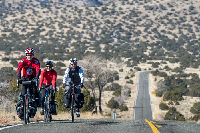
Our routes do more than just get you there.
Ready
to Ride
Our iconic routes are well researched by a team of cartographers and well traveled by thousands of cyclists.
Blueprint
for Discovery
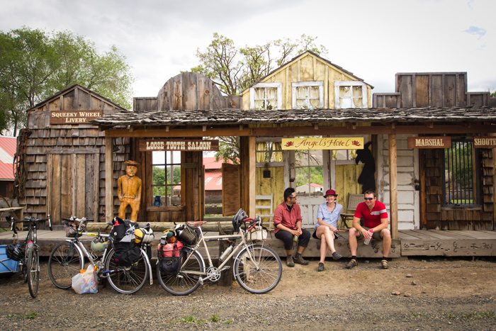
From historical places to natural wonders, we’ve got a route that will expand your worldview.
Anticipates
Your Needs
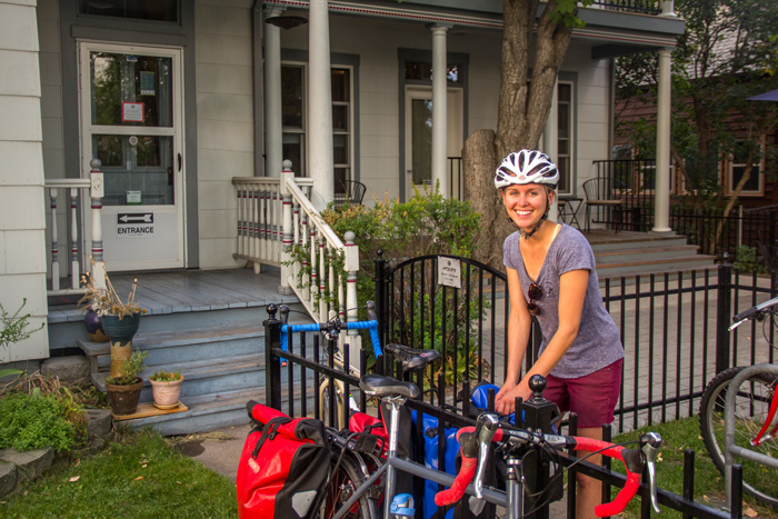
We identify bicycle-friendly inns, campgrounds, shops, and key services along our routes, so you can travel with confidence.
“While cycling the TransAmerica Trail, it has been very apparent how well established the route is among the trail’s communities. Folks in the gardens wave, friendly drivers toot, and many people approach you to chat and encourage you. Forty-two years of riders have paved the way for me in terms of attitude toward and infrastructure for cyclists.”
Explore the Lore
The Genesis of the Great Divide Mountain Bike Route.