Route Maps
Showing 1–16 of 123 results
-
Arkansas High Country Route Map Set
$32.00 -
Arkansas High Country Route Section 1 South
$16.75 -
Arkansas High Country Route Section 2 North
$16.75 -
Atlantic Coast Map Set
$110.00 -
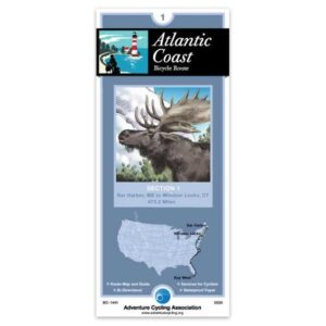
Atlantic Coast Section 1
$16.75 -
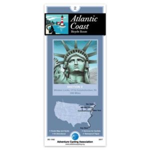
Atlantic Coast Section 2
$16.75 -
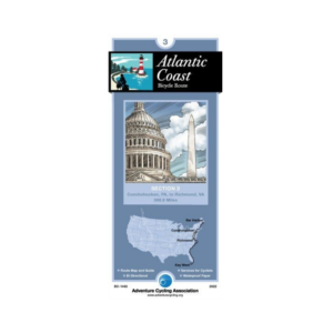
Atlantic Coast Section 3
$16.75 -
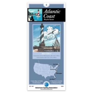
Atlantic Coast Section 4
$16.75 -
Atlantic Coast Section 5
$16.75 -
Atlantic Coast Section 6
$16.75 -
Atlantic Coast Section 7
$16.75 -
Bicycle Route 66 Map Set
$94.00 -
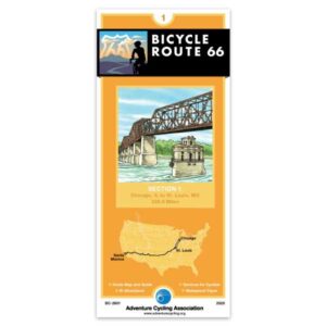
Bicycle Route 66 Section 1
$16.75 -
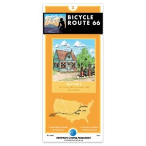
Bicycle Route 66 Section 2
$16.75 -
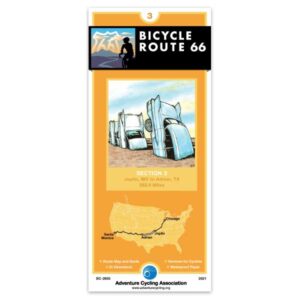
Bicycle Route 66 Section 3
$16.75 -
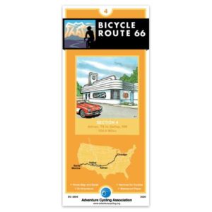
Bicycle Route 66 Section 4
$16.75
Showing 1–16 of 123 results